Kingdom of Charklik
 Shown within China | |
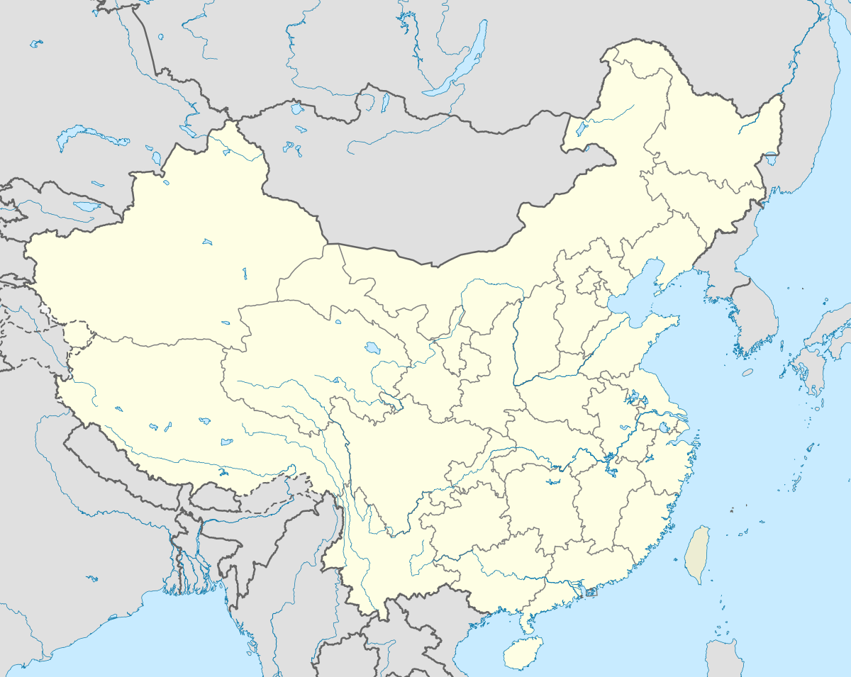
| Location |
|
|---|---|
| Region | Xinjiang |
| Coordinates | 39°02′00″N 88°00′00″E / 39.033333°N 88°E |
Charklik or Charkhlik, was the Uighur name of an ancient kingdom located in what is now officially called by its modern Chinese name Ruoqiang County, in the Xinjiang Uyghur Autonomous Region of the People's Republic of China.
History
Charklik was the name for an ancient kingdom that was located in modern Ruoqiang County in Xinjiang. It was part of the kingdom of Loulan (later renamed Shanshan) from at least the 1st century BCE.
During the latter part of the Former Han and throughout the Later Han the capital of the kingdom of Shanshan was known as Yüni (扜泥), which is thought to be located near the present town of Ruoqiang.[1]
The explorer and archaeologist Aurel Stein visited the small oasis of Charklik in 1906, where he found a little village that was the official headquarters of a very large district, almost all desert, and including the salt lake known as Lop Nor. The district, however, only contained about five hundred households, even including the semi-nomadic herders and fishermen called 'Lopliks'.
It was recorded that the Buddhist monk Xuanzang passed through a town called Na-Fu-Bo (纳缚波) on his way home to China in 645 CE, and Marco Polo in the 13th century passed through a place he called the town of Lop,[2] and both of these were suggested by Aurel Stein to be Charklik.[3] Stein indicated that there is "conclusive evidence" that Charklik was already the chief centre of the region when Xuanzang passed through the town.[4][5]
Description
At various times in history Charklik was the last stop on the difficult Southern Silk Road from Khotan before crossing the much-feared salt pans of Lop Nor to Dunhuang. An alternate route from modern Charklik heads south through the Qaidam Desert which then turns northeast to Dunhuang, or south to Lhasa. There is also an ancient route leading north across the Taklamakan Desert to Korla. Northeast of the town of Ruoqiang is the important archaeological site of Miran.[6]
The modern town of Ruoqiang is described as "small, busy place" with only very basic accommodation available. It is a convenient jumping-off place to visit the ruins of Miran.[7]
South of Charklik are the imposing Altun Mountains which contain a large nature reserve where the wild horse, Przewalski's horse (Equus przewalski), now extinct in the wild, is being reintroduced from stocks bred in zoos.[6]
See also
Footnotes
- ↑ Hill (2015) Vol. I, p. 93.
- ↑ J.M. Dent (1908), "Chapter 36: Of the Town of Lop Of the Desert in its Vicinity - And of the strange Noises heard by those who pass over the latter", The travels of Marco Polo the Venetian, pp. 99–101
- ↑ Aurel Stein (1932). "Chapter IX: Section 1 - Marco Polo Lop and Hsüan Tsang Na-Fu-Po". ~Serindia. I. pp. 319–322.
- ↑ Stein (1932), p. 83.
- ↑ Hill (2015) Vol. I, p. 84.
- ↑ Leffman et al. (2005), p. 1074.
References
- Bonavia, Judy (2004). The Silk Road: From Xi'an to Kashgar. Judy Bonavia, revised by Christoph Baumer. Odyssey Publications. Hong Kong. ISBN 962-217-741-7.
- Leffman, David, Simon Lewis and Jeremy Atiyah. (2005). The Rough Guide to China. Fourth edition. Rough Guides, New York, London, Delhi. ISBN 978-1-84353-479-2.
- Stein, M. Aurel (1932). On Ancient Central Asian Tracks: Brief Narrative of Three Expeditions in Innermost Asia and Northwestern China. Aurel Stein. Reprinted with Introduction by Jeannette Mirsky. Book Faith India, Delhi. 1999.
External links
Coordinates: 39°02′N 88°00′E / 39.033°N 88.000°E