Bole, Xinjiang
| Bole (Bortala) 博乐市 • بورتالا شەھىرى • ᠪᠣᠷᠣᠲᠠᠯᠠ ᠬᠣᠲᠠ | |
|---|---|
| County-level city | |
|
Bole railway station | |
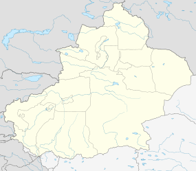 Bole (Bortala) Location in Xinjiang | |
| Coordinates: 44°54′13.6″N 82°04′14.93″E / 44.903778°N 82.0708139°ECoordinates: 44°54′13.6″N 82°04′14.93″E / 44.903778°N 82.0708139°E | |
| Country | China |
| Province | Xinjiang |
| Prefecture | Bortala (Mongol) |
| Area | |
| • Total | 7,801.68 km2 (3,012.25 sq mi) |
| Elevation | 662 m (2,172 ft) |
| Population (2011) | |
| • Total | 106,400 |
| • Density | 14/km2 (35/sq mi) |
| Postal code | 833400 |
| Area code(s) | 909 |
| Vehicle registration | 新 E |
| Website | http://www.xjboz.gov.cn/ |

Bole (Bortala) (simplified Chinese: 博乐; traditional Chinese: 博樂; Mongolian: ᠪᠣᠷᠣᠲᠠᠯᠠ, Bortal; Uyghur: بۆرتالا, Бөртала, ULY: Börtala, UYY: Bɵrtala?) is a county-level city in Xinjiang Province, China. The city covers an area of 7,517 square kilometres (2,902 sq mi) and as of 2003 had a total population of 403,700 (2003). Bortala means "brown grasslands/steppe" in Mongolian. Bortala is the seat of Bortala Mongol Autonomous Prefecture, which borders Kazakhstan. The Northern Xinjiang Railway runs through the city along with highways to Urumqi.
See also
This article is issued from Wikipedia - version of the 4/23/2016. The text is available under the Creative Commons Attribution/Share Alike but additional terms may apply for the media files.