Haighton
| Haighton | |
 Haighton Manor |
|
 Haighton |
|
| Population | 202 (2011) |
|---|---|
| OS grid reference | SD566349 |
| Civil parish | Haighton |
| District | Preston |
| Shire county | Lancashire |
| Region | North West |
| Country | England |
| Sovereign state | United Kingdom |
| Post town | PRESTON |
| Postcode district | PR2 |
| Dialling code | 01772 |
| Police | Lancashire |
| Fire | Lancashire |
| Ambulance | North West |
| EU Parliament | North West England |
| UK Parliament | Wyre and Preston North |
|
|
Coordinates: 53°48′32″N 2°39′32″W / 53.809°N 2.659°W
Civil parishes in the City of Preston | ||
|---|---|---|
| Ba | ||
| Br | ||
| Go | ||
| Gr | ||
| H | ||
| I | ||
| L | ||
| Wh | ||
| Wo | ||

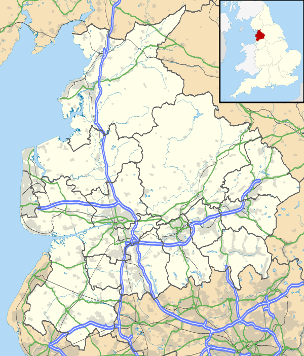
Haighton is a civil parish in the City of Preston, Lancashire, England. It is a rural area north east of the urban city of Preston, beyond Fulwood and Brookfield.
Geography
Haighton also contains the hamlets of Haighton Green and Haighton Top. It is separated from the city by the M6 motorway, with junction 31A on the boundary with Brookfield.
Community
The area was intended to become a residential suburb as part of the Central Lancashire New Town, with population increasing to 29,100 by 2001[1] however it never occurred and the area has remained rural. It has a population of 197,[2] increasing to 202 at the 2011 Census.[3]
History
The parish was part of Preston Rural District throughout its existence from 1894 to 1974.[4] In 1974 the parish became part of the Borough of Preston, which became a city in 2002.
See also
References
- ↑ Central Lancashire Development Corporation outline plan, 1974. ISBN 0-904335-00-3
- ↑ Office for National Statistics : Census 2001 : Parish Headcounts : Preston Retrieved 26 July 2010
- ↑ "Civil Parish population 2011". Retrieved 18 January 2016.
- ↑ Preston RD, Vision of Britain, accessed 9 June 2014
External links
| Wikimedia Commons has media related to Haighton. |
Geography of the City of Preston district | |||||||||||
|---|---|---|---|---|---|---|---|---|---|---|---|
| Cities |  | ||||||||||
| Suburbs | |||||||||||
| Villages | |||||||||||
| Parishes | |||||||||||
| Topography |
| ||||||||||