Goodwill Plantation
|
Goodwill Plantation | |
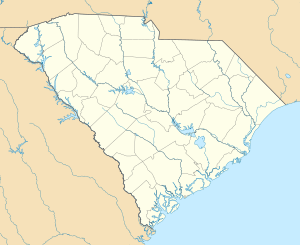  | |
| Location | Off U.S. Route 378, near Eastover, South Carolina |
|---|---|
| Coordinates | 33°57′28″N 80°38′57″W / 33.95778°N 80.64917°WCoordinates: 33°57′28″N 80°38′57″W / 33.95778°N 80.64917°W |
| Area | 3,285.7 acres (1,329.7 ha) |
| MPS | Lower Richland County MRA |
| NRHP Reference # | 86000528[1] |
| Added to NRHP | March 27, 1986 |
Goodwill Plantation is a historic plantation and national historic district located near Eastover, Richland County, South Carolina. The district encompasses 10 contributing buildings and 2 contributing structures. They include the millpond and a portion of the canal irrigation system (c. 1827); the overseer’s house (c. 1857); the 2 1/2-story frame mill building (c. 1857 – 1870); two slave cabins (c. 1858); a blacksmith shop; the late-19th century main house; a lodge (c. 1910 – 1935); and a carriage house, tenant house, barn and corn crib.[2][3]
The plantation was added to the National Register of Historic Places in 1986.[1]
References
- 1 2 National Park Service (2010-07-09). "National Register Information System". National Register of Historic Places. National Park Service.
- ↑ unknown (n.d.). "Goodwill Plantation" (pdf). South Carolina Inventory Form for Historic Districts and Individual Properties in a Multiple Property Submission. Retrieved 2014-07-01.
- ↑ "Goodwill Plantation, Richland County (off U.S. Hwy. 378, Eastover vicinity)". National Register Properties in South Carolina. South Carolina Department of Archives and History. Retrieved 2014-07-01.
| Topics |  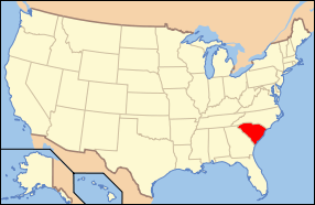 | |
|---|---|---|
| Lists by county |
| |
| Lists by city | ||
| Other lists | ||
This article is issued from Wikipedia - version of the 11/30/2016. The text is available under the Creative Commons Attribution/Share Alike but additional terms may apply for the media files.