Foster Bar, California
Coordinates: 39°26′10″N 121°07′48″W / 39.43611°N 121.13000°W
| Foster Bar | |
|---|---|
| Former settlement | |
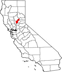
 Foster Bar Location in California | |
| Coordinates: 39°26′10″N 121°07′48″W / 39.43611°N 121.13000°W | |
| Country | United States |
| State | California |
| County | Yuba County |
| Elevation[1] | 1,909 ft (582 m) |
Foster Bar (also, Foster's Bar) is a former settlement in Yuba County, California. It was located on the North Yuba River 5.5 miles (8.9 km) southeast of Challenge,[2] at an elevation of 1909 feet (582 m). It was inundated by the Bullards Bar Reservoir.
The place was named after William M. Foster, miner and merchant, who opened a store here in 1849.[2] A post office operated at Foster Bar from 1852 to 1866.[2]
References
This article is issued from Wikipedia - version of the 7/16/2015. The text is available under the Creative Commons Attribution/Share Alike but additional terms may apply for the media files.