Frenches Ravine, California
Coordinates: 39°19′15″N 121°12′12″W / 39.32083°N 121.20333°W
| Frenches Ravine | |
|---|---|
| Former settlement | |
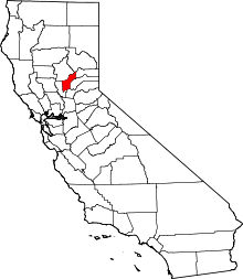
 Frenches Ravine Location in California | |
| Coordinates: 39°19′15″N 121°12′12″W / 39.32083°N 121.20333°W | |
| Country | United States |
| State | California |
| County | Yuba County |
| Elevation[1] | 531 ft (162 m) |
Frenches Ravine is a former settlement in Yuba County, California. It was located 3.5 miles (5.6 km) south-southeast of Dobbins,[2] at an elevation of 531 feet (162 m). It still appeared on maps as of 1895.
References
- ↑ U.S. Geological Survey Geographic Names Information System: Frenches Ravine, California
- ↑ Durham, David L. (1998). California's Geographic Names: A Gazetteer of Historic and Modern Names of the State. Clovis, Calif.: Word Dancer Press. p. 488. ISBN 1-884995-14-4.
This article is issued from Wikipedia - version of the 1/26/2011. The text is available under the Creative Commons Attribution/Share Alike but additional terms may apply for the media files.