Fort Howell
|
Fort Howell | |
  | |
| Nearest city | Hilton Head, South Carolina |
|---|---|
| Coordinates | 32°14′4″N 80°41′31″W / 32.23444°N 80.69194°WCoordinates: 32°14′4″N 80°41′31″W / 32.23444°N 80.69194°W |
| NRHP Reference # | 11000371[1] |
| Added to NRHP | June 15, 2011 |
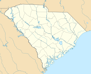
Fort Howell, named in honor of Brigadier General Joshua B. Howell, is located on Hilton Head Island, South Carolina. Its primary function was to protect Mitchelville, a freedmen's town located to its east.[2][3] It was named to the National Register of Historic Places on June 15, 2011.[1]
It is an earthworks fort built in 1864 during the American Civil War by the 32nd United States Colored Infantry Regiment (Union) from Pennsylvania. The fort covers approximately 3 acres of land once part of the plantation of William Pope.[4]
Today, it is an historic site that is open to the public.
References
- 1 2 "Weekly List of Actions Taken on Properties: 6/13/11 through 6/17/11". National Park Service. 24 July 2011. Retrieved 23 July 2011.
- ↑ Hocutt, Martha H.; J. Tracy Powers; James B. Legg (April 27, 2011). "Fort Howell" (pdf). National Register of Historic Places - Nomination and Inventory. Retrieved 9 June 2012.
- ↑ "Fort Howell, Beaufort County (N. side of Beach City Rd. approximately 200' SW of its intersection with Dillon Rd., Hilton Head Island)". National Register Properties in South Carolina. South Carolina Department of Archives and History. Retrieved 9 June 2012.
- ↑ Heritage Library Foundation
External links
| Topics |   | |
|---|---|---|
| Lists by county |
| |
| Lists by city | ||
| Other lists | ||
This article is issued from Wikipedia - version of the 11/25/2016. The text is available under the Creative Commons Attribution/Share Alike but additional terms may apply for the media files.