Farol de Fontes Pereira de Melo
|
The lighthouse shown on the left of the picture with the easternmost part of the island's mountain range | |
 Farol de Fontes Pereira de Melo | |
| Location | Janela, Santo Antão, Cape Verde |
|---|---|
| Coordinates | 17°6′53.4″N 24°58′14.4″W / 17.114833°N 24.970667°WCoordinates: 17°6′53.4″N 24°58′14.4″W / 17.114833°N 24.970667°W |
| Year first constructed | 1886 |
| Deactivated | 2006 |
| Construction | masonry tower |
| Tower shape | octagonal prism tower with balcony and gallery |
| Markings / pattern | white tower and lantern |
| Height | 16 metres (52 ft) |
| Focal height | 162 metres (531 ft) |
| Range | 17 nautical miles (31 km; 20 mi) |
| Characteristic | Fl(4) W 20s |
| Admiralty number | D-2950 |
| NGA number | 24080 |
| ARLHS number | CAP-004 |
| Cape Verde number | 2008[1] |

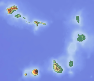
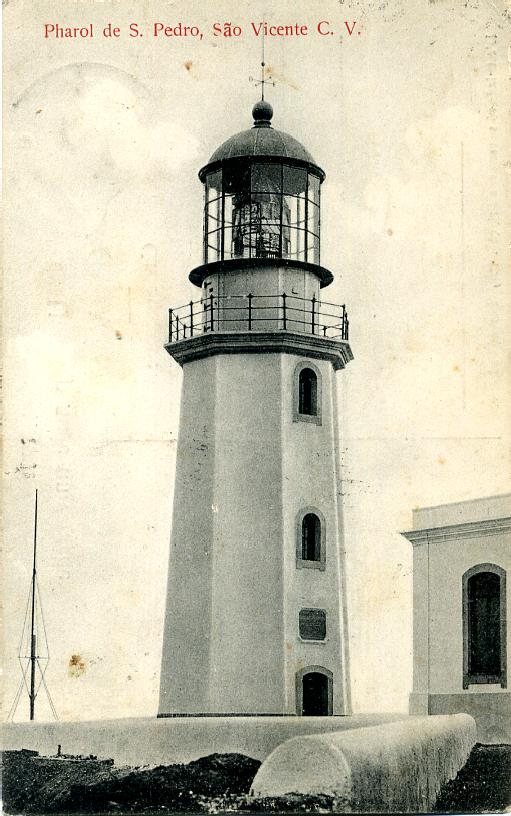
Farol de Fontes Pereira de Melo, better known as farol da ponta de Tumba ou do Tumbo (Tumba/Tumbo Lighthouse) or the Boi Lighthouse (farol de Boi) is a lighthouse in the northeastern point of the island of Santo Antão in northwestern Cape Verde near the settlement of Janela, it is located 10 km southeast of Vila das Pombas and 14.7 km norhtheast of Porto Novo. It is in the area of the island's easternmost part of the mountain range and belongs to Cova-Ribeira da Torre-Paul Natural Park. Its offers panoramic views of the island of São Vicente to the south. The lighthouse was named after Fontes Pereira de Melo, prime minister for several times between 1871 and 1886. Ponta de Tumba is 487 meters tall and about a kilometer wide.
The lighthouse tower has a white octagonal shape with a lantern and a gallery, 16 meters high. Nearby is a building used for turning lighthouse light which is now abandoned and is in poor condition.
It was once connected with a track connecting with the Ribeira Grande-Janela Road. Recently, a new highway named the Estrada Littoral (Ribeira Grande-Janela-Porto Novo Road) linking Janela and Porto Novo running within the Atlantic, runs not far from the lighthouse, construction spread in 2005 and in 2006, along with a tunnel opened, it was completed in 2009, it would be connected with a track connecting the newly opened highway. The new highway serves the northern with the southern and the western parts of the island without crossing through the partly treacherous mountain road linking Ribeira Grande and Porto Novo at the elevation of over 1,000 meters.
About the lighthouse
- Situation: Listed as active, no longer active since 2006.
See also
References
- Russ Rowlett (September 24, 2009). "Ponta de Tumbo (Fontes Pereira de Melo)". The Lighthouse Directory. Retrieved December 4, 2009.
- ↑ Rowlett, Russ. "Lighthouses of Cape Verde". The Lighthouse Directory. University of North Carolina at Chapel Hill. Retrieved January 12, 2016.
External links
| Wikimedia Commons has media related to Ponta de Tumbo Lighthouse. |
| Parish | 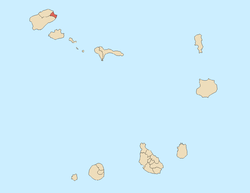 | |
|---|---|---|
| Communities and settlements | ||
| Geographical features |
| |
| Landmarks and points of Interests | ||
| Culture | ||