Edington, Wiltshire
| Edington | |
 Priory church (St Mary, St Katherine and All Saints) |
|
 Edington |
|
| Population | 734 (in 2011)[1] |
|---|---|
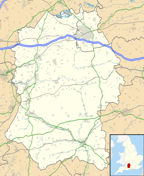
| OS grid reference | ST927531 |
| Unitary authority | Wiltshire |
| Ceremonial county | Wiltshire |
| Region | South West |
| Country | England |
| Sovereign state | United Kingdom |
| Post town | WESTBURY |
| Postcode district | BA13 |
| Dialling code | 01380 |
| Police | Wiltshire |
| Fire | Dorset and Wiltshire |
| Ambulance | South Western |
| EU Parliament | South West England |
| UK Parliament | South West Wiltshire |
| Website | Village |
Coordinates: 51°16′37″N 2°06′22″W / 51.277°N 02.106°W
Edington is a village and civil parish in Wiltshire, England, about 4 miles (6 km) east-northeast of Westbury. The village lies under the north slope of Salisbury Plain and the parish extends south onto the Plain.
Tinhead is the former name of the eastern half of present-day Edington, towards Coulston along the B3098 Westbury – Market Lavington road. Tinhead is labelled on the Ordnance Survey map of 1945[2] but not on the 1958 map.[3] Today the combined settlement is Edington and the name survives only in Tinhead Hill and Tinhead Lane.
History
Evidence of prehistoric activity includes a long barrow at Tinhead Hill.[4]
The parish was part of the hundred of Whorwellsdown, and is believed to hold a place in English history, for it was probably here that King Alfred the Great won a decisive battle in 878 against the Danes at the Battle of Ethandun.
In the year 957 the Witenagemot, or King's Council, met at Edington.[5] The Domesday Book of 1086 records a large settlement of 67 households, held by Romsey Abbey.[6] The manor, known as Edington Romsey, continued to be held by the abbey until the Dissolution of the Monasteries in the 16th century.
Edington Priory was founded in the 14th century and became a monastery of the Brothers of Penitence, or Bonshommes.[7] Its large church continues in use as the parish church of St Mary, St Katherine and All Saints[8] but the other monastery buildings were destroyed by 1579;[9] part of a fishpond survives.[10]
Three miles away is the Westbury White Horse, a famous chalk figure on the side of Westbury Hill first recorded in the 18th century, which is visible from Westbury and much of western Wiltshire, although not from Edington.
A Methodist chapel was built in 1828 and a schoolroom added in 1876; it closed in 2006.[11]
The Stert & Westbury Railway was built across the parish by the Great Western Railway Company, opening in 1900. A station named Edington and Bratton was half a mile (800 metres) north of Edington. The track continues in use as part of the Reading to Taunton Line but the station closed to passengers in 1952 and to goods in 1963; the station yard is a small industrial estate.
Local government
The civil parish elects a parish council. It is in the area of Wiltshire Council unitary authority, which performs all significant local government functions.
The population of the parish was 834 at the census of 1801 and 1,136 in 1841. It had fallen back to 714 in 1931 and in 1951 it was down to 579, partly due to the civil parish having been reduced in area in 1934, with the hamlet of West Coulston being united with East Coulston.[12]
Notable people
William Edington (d. 1366), from an Edington family, became Treasurer of England and bishop of Winchester, and founded and endowed the monastery at Edington.[7]
William Gullick, the man who designed the New South Wales Coat of Arms, was baptised here in 1858.[13]
Amenities
The village is some six miles from the county town of Trowbridge, which, with Devizes and Westbury, provides shopping facilities.
Edington has a village common and a public house, the Three Daggers. The parish church is the home of the nationally-known annual Edington Music Festival.
Many children from Edington go to the primary school in the slightly larger neighbouring village of Bratton. Secondary school options include Trowbridge, Lavington, and Matravers School at Westbury. The parish had a National School, built at Tinhead in 1877; it closed in 1956 owing to falling pupil numbers.[14]
Sources
- The Edington cartulary, ed. Janet H. Stevenson (Wiltshire Record Society, Vol. 42, 1987)
References
- ↑ "Wiltshire Community History – Census". Wiltshire Council. Retrieved 19 November 2015.
- ↑ "OS One-inch England and Wales – Sheet 167 – Salisbury (1945)". National Library of Scotland. Retrieved 20 November 2015.
- ↑ "1:25,000 maps of Great Britain – Sheet ST95 (1958)". National Library of Scotland. Retrieved 20 November 2015.
- ↑ Historic England. "Long barrow, Tinhead Hill (1009783)". National Heritage List for England. Retrieved 22 November 2015.
- ↑ Pugh, R.B.; Crittall, E.; Crowley, D.A. (1955). A History of Wiltshire, Volume 2. London: Institute of Historical Research. p. 9. Retrieved 21 November 2015.
- ↑ Edington in the Domesday Book
- 1 2 "Victoria County History – Wiltshire – Vol 3 pp320-324 – House of Bonhommes: Edington". British History Online. University of London. 1956. Retrieved 21 November 2015.
- ↑ "Priory Church of St. Mary, St. Katherine and All Saints, Edington". Wiltshire Community History. Wiltshire Council. Retrieved 21 November 2015.
- ↑ Historic England. "Edington Priory (211929)". PastScape. Retrieved 22 November 2015.
- ↑ Historic England. "Fishponds of Edington Priory (891282)". PastScape. Retrieved 22 November 2015.
- ↑ "Methodist Chapel, Tinhead, Edington". Wiltshire Community History. Wiltshire Council. Retrieved 21 November 2015.
- ↑ "Victoria County History – Wiltshire – Vol 8 pp239-250 – Edington". British History Online. University of London. Retrieved 21 November 2015.
- ↑ "William Gullick: NSW Government Printer and Inspector of Stamps". Office of Environment and Heritage, New South Wales. Retrieved 21 November 2015.
- ↑ "Edington County School". Wiltshire Community History. Wiltshire Council. Retrieved 21 November 2015.
External links
![]() Media related to Edington, Wiltshire at Wikimedia Commons
Media related to Edington, Wiltshire at Wikimedia Commons