Cranendonck
| Cranendonck | |||
|---|---|---|---|
| Municipality | |||
|
Former city hall of Budel | |||
| |||
.svg.png) Location in North Brabant | |||
| Coordinates: 51°18′N 5°35′E / 51.300°N 5.583°ECoordinates: 51°18′N 5°35′E / 51.300°N 5.583°E | |||
| Country | Netherlands | ||
| Province | North Brabant | ||
| Established | 1 January 1997[1] | ||
| Government[2] | |||
| • Body | Municipal council | ||
| • Mayor | Marga Vermue-Vermue (CDA) | ||
| Area[3] | |||
| • Total | 78.05 km2 (30.14 sq mi) | ||
| • Land | 76.45 km2 (29.52 sq mi) | ||
| • Water | 1.60 km2 (0.62 sq mi) | ||
| Elevation[4] | 28 m (92 ft) | ||
| Population (May 2014)[5] | |||
| • Total | 20,405 | ||
| • Density | 267/km2 (690/sq mi) | ||
| Time zone | CET (UTC+1) | ||
| • Summer (DST) | CEST (UTC+2) | ||
| Postcode | 6020–6028 | ||
| Area code | 0495 | ||
| Website |
www | ||


Cranendonck (![]() pronunciation ) is a municipality in the southern Netherlands.
Though located in North Brabant near Eindhoven, the spoken dialect is Budels (linguistically a Limburgish dialect), rather than Kempenlands (linguistically an East Brabantian dialect).
pronunciation ) is a municipality in the southern Netherlands.
Though located in North Brabant near Eindhoven, the spoken dialect is Budels (linguistically a Limburgish dialect), rather than Kempenlands (linguistically an East Brabantian dialect).
Population centres
- Budel
- Budel-Dorplein
- Budel-Schoot
- Gastel
- Maarheeze
- Soerendonk
Topography
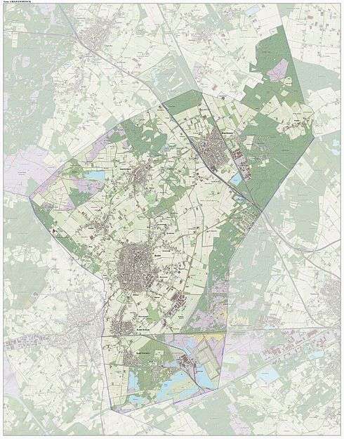
Dutch topographic map of the municipality of Cranendonck, June 2015
References
- ↑ "Gemeentelijke indeling op 1 januari 1997" [Municipal divisions on 1 January 1997]. cbs.nl (in Dutch). CBS. Retrieved 8 May 2014.
- ↑ "Wie is wie" [Who is who] (in Dutch). Gemeente Cranendonck. Retrieved 8 May 2014.
- ↑ "Kerncijfers wijken en buurten" [Key figures for neighbourhoods]. CBS Statline (in Dutch). CBS. 2 July 2013. Retrieved 12 March 2014.
- ↑ "Postcodetool for 6027RK". Actueel Hoogtebestand Nederland (in Dutch). Het Waterschapshuis. Retrieved 8 May 2014.
- ↑ "Bevolkingsontwikkeling; regio per maand" [Population growth; regions per month]. CBS Statline (in Dutch). CBS. 26 June 2014. Retrieved 24 July 2014.
External links
 Media related to Cranendonck at Wikimedia Commons
- Official website
 |
Heeze-Leende | Someren | | |
| Hamont-Achel (BE-VLI) | |
Nederweert (LI) Weert (LI) | ||
| ||||
| | ||||
| Bocholt (BE-VLI), Weert (LI) |

This article is issued from Wikipedia - version of the 7/21/2015. The text is available under the Creative Commons Attribution/Share Alike but additional terms may apply for the media files.