Coy, Alabama
| Coy, Alabama | |
|---|---|
| Unincorporated community | |
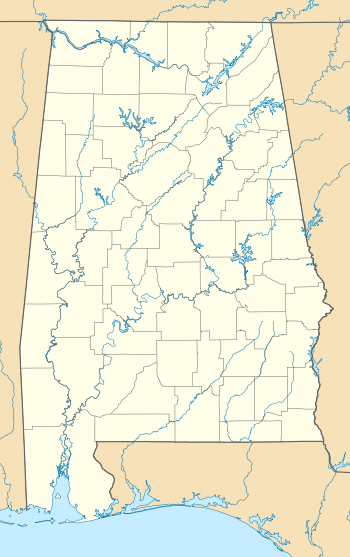 Coy, Alabama  Coy, Alabama Location within the state of Alabama | |
| Coordinates: 31°53′42″N 87°27′46.8″W / 31.89500°N 87.463000°W | |
| Country | United States |
| State | Alabama |
| County | Wilcox |
| Elevation | 95 ft (29 m) |
| Time zone | Central (CST) (UTC-6) |
| • Summer (DST) | CDT (UTC-5) |
| ZIP code | 36435 |
| Area code(s) | 334 |
Coy is an unincorporated community in Wilcox County, Alabama, United States.[1] Coy is located in a bend of the Alabama River and is home to several historic plantations. The most notable of these is Dry Fork Plantation, included on the National Register of Historic Places.[2]
Geography
Coy is located at 31°53′42″N 87°27′47″W / 31.8950°N 87.4630°WCoordinates: 31°53′42″N 87°27′47″W / 31.8950°N 87.4630°W and has an elevation of 95 feet (29 m).[1]
Notable person
- John Cooper Godbold, United States Circuit Judge for the United States Court of Appeals for the Eleventh Circuit
References
- 1 2 "Coy, Alabama". "AL HomeTownLocator". Retrieved 2008-10-14.
- ↑ National Park Service (2008-04-15). "National Register Information System". National Register of Historic Places. National Park Service.
Municipalities and communities of Wilcox County, Alabama, United States | ||
|---|---|---|
| City | 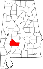 | |
| Towns | ||
| CDPs | ||
| Unincorporated communities | ||
| Ghost town | ||
This article is issued from Wikipedia - version of the 7/29/2016. The text is available under the Creative Commons Attribution/Share Alike but additional terms may apply for the media files.