Combe Moor
| Combe Moor | |
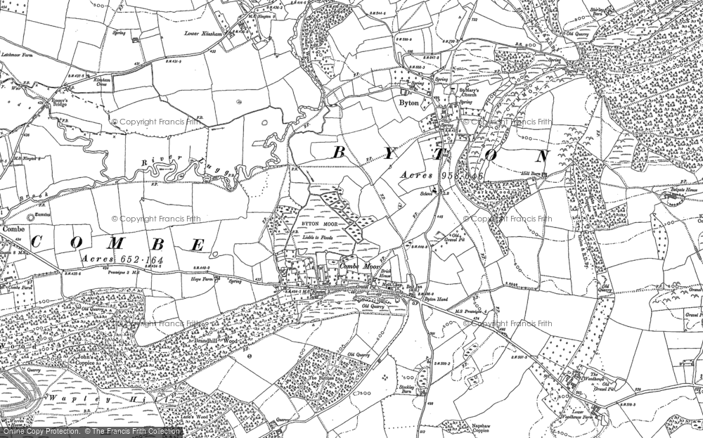
 Combe Moor and Byton Moor, just north of the village |
|
 Combe Moor |
|
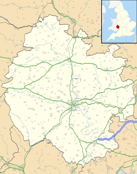
| Unitary authority | Herefordshire |
|---|---|
| Ceremonial county | Herefordshire |
| Region | West Midlands |
| Country | England |
| Sovereign state | United Kingdom |
| Police | West Mercia |
| Fire | Hereford and Worcester |
| Ambulance | West Midlands |
| EU Parliament | West Midlands |
| UK Parliament | Hereford and South Herefordshire |
|
|
Coordinates: 52°15′44″N 2°56′02″W / 52.262254°N 2.933771°W
Combe Moor, also known as Coombes Moor, is a small linear village in Herefordshire, located to the southeast of the Welsh settlement of Presteigne,[1] near the border with Wales, 20.1 miles (32.3 km) northwest by road from Hereford.[2]
Geography

The village is located on the B4362 road on the B4362 road between Shobdon and Presteigne near the confluence of the Hindwell Brook and the River Lugg.[3] During the Devensian period, "the eastward advance of the Wye Glacier blocked the preglacial Lugg at Combe Moor and the river cut a new course to the north-east before turning south-east through the east-west ridge via the Covenhope Gap."[4] Cross and Hodgson described the sediments of the Combe Moor basin in 1975 as "finely laminated and stoneless."[5]
Combe Moor lies to the southeast of Combe, just to the southwest of Byton.[2] Brandhill Wood lies to the south and Park Hill to the northeast.[2] The moor to the north of the village is called Byton Moor and there is also a moor of the same name as the village just to the west of that. The Herefordshire Trail long distance footpath passes through the village.[3]
Landmarks
The Herefordshire Trail leads to Wapley Hillfort. There is an old schoolhouse located to the northeast along the road to Byton.[3] Mistletoe House in the village is a "rural tea room and gallery with a colourful garden".[6] Other cottages in the vicinity include Rue Cottage in the village itself and Wapley cottage along the lane to the southeast.[2]
References
- ↑ Great Britain. Mines Inspectorate (1897). Quarries: list of quarries (under the Quarries Act, 1894) in the United Kingdom of Great Britain and Ireland, and the Isle of Man. printed for H.M. Stationery Off. by Darling & Son. p. 194. Retrieved 16 August 2012.
- 1 2 3 4 Maps (Map). Google Maps.
- 1 2 3 Hereford and Leominster (Landranger Maps) (B2 ed.), Ordnance Survey, 2007, ISBN 978-0-319-22953-8
- ↑ Stephens, Nicholas (6 September 1990). Natural Landscapes of Britain from the Air. CUP Archive. p. 155. ISBN 978-0-521-32390-1. Retrieved 16 August 2012.
- ↑ Dorling, Peter (2007). The Lugg Valley, Herefordshire: archaeology, landscape change and conservation. Herefordshire Archaeology. p. 53. ISBN 978-0-9546998-2-6. Retrieved 16 August 2012.
- ↑ "Mistletoe-House-Presteigne". Qype. Retrieved 16 August 2012.