Shobdon
| Shobdon | |
 Shobdon |
|
| Population | 816 |
|---|---|
| Unitary authority | Herefordshire |
| Ceremonial county | Herefordshire |
| Region | West Midlands |
| Country | England |
| Sovereign state | United Kingdom |
| Post town | LEOMINSTER |
| Postcode district | HR6 |
| Dialling code | 01568 |
| Police | West Mercia |
| Fire | Hereford and Worcester |
| Ambulance | West Midlands |
| EU Parliament | West Midlands |
| UK Parliament | North Herefordshire |
|
|
Coordinates: 52°15′N 2°53′W / 52.25°N 2.88°W
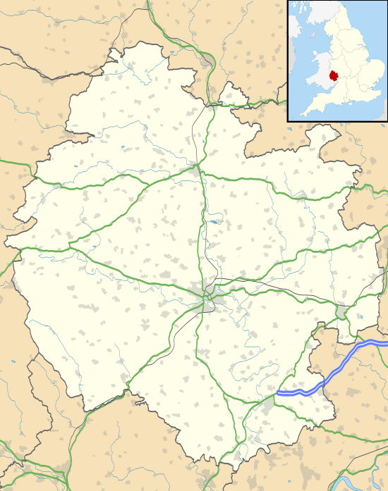
Shobdon is a small village in Herefordshire, England, situated 15 miles north of Hereford and six miles west of Leominster. It is 2 miles southwest of the Mortimer's Cross. According to the 2001 Census, the population of the parish of Shobdon was 769, consisting of 386 males and 383 females.[1] The population had increased to 816 by the time of the 2011 Census.[2]
History
In the 17th century the village of Shobdon was run by the Bateman family (hence the Bateman Arms). They were living in Shobdon Court. Shobdon is famous for its church St John the Evangelist located north of the village.
The original interior arches of the church were removed in 1756, being placed at the top of the adjacent hill as a folly where they still stand. The Shobdon Arches consist of a central chancel arch and two Norman doorways. The fine, though weathered, carvings are the work of the Herefordshire School of sculpture, which dominated in the western counties during the mid 12th Century. Tympana were once probably part of the original doorways. Shobdon Church is a hugely important work of architecture.[3] It has a direct connection to Horace Walpole's Strawberry Hill in Twickenham and the members of the "Committee of Taste" which strongly influenced its design. Its amazingly intact interior and matching furniture are the sole example of this Walpolean Gothick style of Georgian church architecture and furnishing. 4 November 2013 saw the culmination of 12 years and £1.25 million of repair work to restore this unique "Strawberry Hill Gothic" Church. Nearby is the visitor centre/café together with the Shobdon Arches folly.[4]
Village places
The village has a primary school with approximately 67 children attending. When the children leave Shobdon Primary they mostly progress to Wigmore High School, although some go to either Weobley High School or Lady Hawkins' School. Co-located with the Primary School is Shobdon Village Hall which consists of a community room and kitchen, as well as shared access to the school hall. Occasional fundraising activities are undertaken by the village hall committee, the most significant of which is the Village Fete and Produce Show held in mid September.
At the western end of the village is Pearl Lake caravan park, which has a number of permanent caravans as well as access for tourers. This is situated adjacent to Pearl Lake, the largest natural body of water in Herefordshire.
To the south is situated Shobdon Aerodrome, formerly a World War II RAF glider training facility, now used for commercial and recreational helicopter flying[5] fixed wing power flying [6] and glider flying.[7] Shobdon Aerodrome was constructed in 1942. In operation it was only used as a glider training base. Pilots who trained here took part in both the Normandy landings and Operation Market Garden at Arnhem in the Netherlands.
Shobdon Festival
Every third year Shobdon church hosted a flower festival. This was expanded into an annual food, drink, flower and flying festival which is held on the last weekend in June. The eleventh anniversary Festival was held at Shobdon Airfield on the weekend of 27–28 June 2015.[8]
Climate
The temperature is usually between −0.3 °C (31.5 °F) and 23.2 °C (73.8 °F).
| Climate data for Shobdon 99m amsl (1981–2010) | |||||||||||||
|---|---|---|---|---|---|---|---|---|---|---|---|---|---|
| Month | Jan | Feb | Mar | Apr | May | Jun | Jul | Aug | Sep | Oct | Nov | Dec | Year |
| Average high °C (°F) | 7.3 (45.1) |
7.6 (45.7) |
10.3 (50.5) |
12.9 (55.2) |
16.3 (61.3) |
19.3 (66.7) |
21.6 (70.9) |
21.4 (70.5) |
18.4 (65.1) |
14.1 (57.4) |
10.2 (50.4) |
7.4 (45.3) |
13.9 (57.01) |
| Average low °C (°F) | 1.3 (34.3) |
1.1 (34) |
2.7 (36.9) |
3.8 (38.8) |
6.5 (43.7) |
9.3 (48.7) |
11.1 (52) |
10.9 (51.6) |
9.1 (48.4) |
6.6 (43.9) |
3.4 (38.1) |
1.2 (34.2) |
5.58 (42.05) |
| Average precipitation mm (inches) | 78.7 (3.098) |
55.8 (2.197) |
59.0 (2.323) |
60.9 (2.398) |
55.2 (2.173) |
56.6 (2.228) |
56.1 (2.209) |
61.2 (2.409) |
61.2 (2.409) |
87.1 (3.429) |
78.2 (3.079) |
83.9 (3.303) |
793.9 (31.255) |
| Average rainy days (≥ 1 mm) | 13.9 | 10.2 | 11.1 | 10.8 | 9.8 | 9.8 | 8.5 | 10.2 | 9.3 | 13.0 | 12.7 | 12.5 | 131.8 |
| Source: Met Office[9] | |||||||||||||
References
- ↑ Herefordshire Council (2001). "UK Census 2001" (PDF). Herefordshire Council. Archived from the original (PDF) on 29 September 2007. Retrieved 18 June 2008.
- ↑ "Civil Parish population 2011". Retrieved 1 November 2015.
- ↑ Ross, David. "Shobdon, St John Church". Britain Express. Retrieved 6 May 2016.
- ↑ "The Arches". Shobdon Church Preservation Trust. Retrieved 6 May 2016.
- ↑ http://www.tigerhelicopters.co.uk
- ↑ http://www.herefordshireaeroclub.com
- ↑ http://www.shobdongliding.co.uk
- ↑ http://www.shobdonfoodandflyingfestival.co.uk
- ↑ "Shobdon SAWS Climate". Met Office. Retrieved 6 July 2015.
External links
| Wikimedia Commons has media related to Shobdon. |
- http://www.shobdongliding.co.uk/
- http://www.shobdonchurch.org.uk/
- http://www.shobdonfoodandflyingfestival.co.uk