Chahar Right Middle Banner
| Qahar Right Middle Banner 察哈尔右翼中旗 • ᠴᠠᠬᠠᠷᠪᠠᠷᠠᠭᠤᠨᠭᠠᠷᠤᠨᠳᠤᠮᠳᠠᠳᠤᠬᠣᠰᠢᠭᠤ | |
|---|---|
| County | |
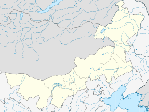 Chahar YYZQ Location in Inner Mongolia | |
| Coordinates: 41°17′N 112°38′E / 41.283°N 112.633°ECoordinates: 41°17′N 112°38′E / 41.283°N 112.633°E | |
| Country | People's Republic of China |
| Region | Inner Mongolia |
| Prefecture-level city | Ulaan Chab |
| Elevation | 1,734 m (5,689 ft) |
| Time zone | China Standard (UTC+8) |
Chahar Right Middle Banner (Mongolian: ᠴᠠᠬᠠᠷ ᠪᠠᠷᠠᠭᠤᠨ ᠭᠠᠷᠤᠨ ᠳᠤᠮᠳᠠᠳᠤ ᠬᠣᠰᠢᠭᠤ; Цахар баруун гарын дундад хошуу; Čaqar Baraɣun Ɣarun Dumdadu qosiɣu; simplified Chinese: 察哈尔右翼中旗; traditional Chinese: 察哈爾右翼中旗; pinyin: Cháhā'ěr Yòuyì Zhōngqí) is a banner (county equivalent) of Inner Mongolia, People's Republic of China, bordered by Chahar Right Back Banner to the east, Zhuozi County to the south, and Siziwang Banner to the northwest. It is under the administration of Ulaan Chab City.
References
- www.xzqh.org (Chinese)
This article is issued from Wikipedia - version of the 5/27/2016. The text is available under the Creative Commons Attribution/Share Alike but additional terms may apply for the media files.