Togtoh County
| Togtoh County 托克托县 • ᠲᠣᠭᠲᠠᠬᠤᠰᠢᠶᠠᠨ | |
|---|---|
| County | |
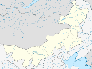 Togtoh Location in Inner Mongolia | |
| Coordinates: 40°17′N 111°12′E / 40.283°N 111.200°ECoordinates: 40°17′N 111°12′E / 40.283°N 111.200°E | |
| Country | People's Republic of China |
| Region | Inner Mongolia |
| Prefecture-level city | Hohhot |
| Area | |
| • Total | 1,313 km2 (507 sq mi) |
| Elevation | 1,018 m (3,340 ft) |
| Time zone | China Standard (UTC+8) |
Togtoh County (Mongolian: ᠲᠣᠭᠲᠠᠬᠤ ᠰᠢᠶᠠᠨ Toɣtaqu siyan, Тогтох шянь; simplified Chinese: 托克托县; traditional Chinese: 托克托縣; pinyin: Tuōkètuō Xiàn) is a county in west-central Inner Mongolia, People's Republic of China, located on the north bank of the Yellow River at which point that great river turns out of the Ordos Loop toward the south. It is under the administration of the regional capital of Hohhot, 78 kilometres (48 mi) to the northeast, with a population of around 200,000.
References
- www.xzqh.org (Chinese)
This article is issued from Wikipedia - version of the 10/15/2016. The text is available under the Creative Commons Attribution/Share Alike but additional terms may apply for the media files.