Annandale, Demerara-Mahaica
| Annandale | |
|---|---|
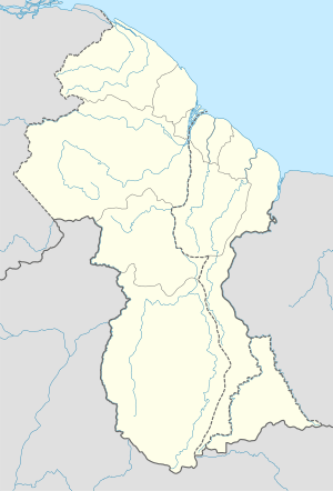 Annandale Location in Guyana | |
| Coordinates: 6°46′N 58°1′W / 6.767°N 58.017°WCoordinates: 6°46′N 58°1′W / 6.767°N 58.017°W | |
| Country |
|
| Region | Demerara-Mahaica |
| Elevation | −30 ft (-10 m) |
| Population (2005) | |
| • Ethnicities | 65% Indian, 33%black, 2%dougla |
| • Religions | Hinduism, Christianity and Islam |
Annandale is a community in the Demerara-Mahaica region of Guyana, located on the Atlantic Ocean at 6°46′58.8″N 58°1′58.8″W / 6.783000°N 58.033000°W, near Buxton. Historically, Annandale was always an "Indian (or Indo-Guyanese)" village, but today it has sizeable populations of Blacks and Indians. Note Indians are still the largest ethnic group here. Its divided in Annandale North, South, West and Courabane Park.
This article is issued from Wikipedia - version of the 3/15/2013. The text is available under the Creative Commons Attribution/Share Alike but additional terms may apply for the media files.