Kurupukari
| Kurupukari | |
|---|---|
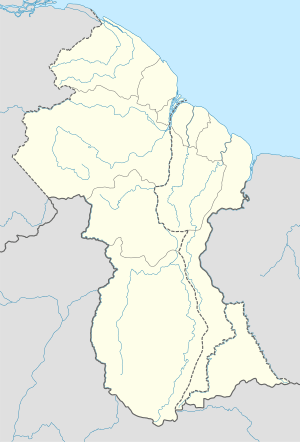 Kurupukari Location in Guyana | |
| Coordinates: 4°40′19″N 58°40′13″W / 4.67194°N 58.67028°WCoordinates: 4°40′19″N 58°40′13″W / 4.67194°N 58.67028°W | |
| Country |
|
| Region | Upper Demerara-Berbice |
| Elevation | 81 m (266 ft) |
Kurupukari is a settlement on the Essequibo River, in the Upper Demerara-Berbice region of Guyana.
The Linden-Lethem Road crosses the river here by a ferry.[1]
References
- ↑ Google maps
Kurupukari Mapcarta (for coordinates and elevation)
This article is issued from Wikipedia - version of the 8/24/2016. The text is available under the Creative Commons Attribution/Share Alike but additional terms may apply for the media files.