Mabaruma
| Mabaruma | |
|---|---|
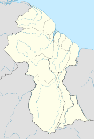 Mabaruma Location in Guyana | |
| Coordinates: 8°12′0″N 59°47′0″W / 8.20000°N 59.78333°WCoordinates: 8°12′0″N 59°47′0″W / 8.20000°N 59.78333°W | |
| Country |
Claimed by |
| Region | Barima-Waini |
| Elevation | 43 ft (13 m) |
Mabaruma is the administrative centre for Region One (Barima-Waini) of Guyana. It is located close to the Aruka River (the Venezuelan border) on a narrow plateau above the surrounding rainforest at an altitude of 13 metres.
It replaced Morawhanna as the regional capital after the former was deemed at risk from flooding. There is a government guest house in the town.
Mabaruma contains the region's first secondary school, North West Secondary School, established in 1965.
Climate
| Climate data for Mabaruma | |||||||||||||
|---|---|---|---|---|---|---|---|---|---|---|---|---|---|
| Month | Jan | Feb | Mar | Apr | May | Jun | Jul | Aug | Sep | Oct | Nov | Dec | Year |
| Average high °C (°F) | 30 (86) |
30 (86) |
29 (85) |
31 (87) |
30 (86) |
29 (85) |
31 (88) |
32 (89) |
32 (89) |
32 (89) |
31 (88) |
29 (85) |
31 (87) |
| Average low °C (°F) | 22 (71) |
21 (70) |
22 (71) |
22 (72) |
23 (73) |
22 (72) |
22 (72) |
22 (72) |
22 (72) |
23 (73) |
22 (72) |
22 (71) |
22 (72) |
| Average precipitation mm (inches) | 208 (8.2) |
107 (4.2) |
119 (4.7) |
173 (6.8) |
312 (12.3) |
345 (13.6) |
343 (13.5) |
246 (9.7) |
198 (7.8) |
201 (7.9) |
224 (8.8) |
318 (12.5) |
2,790 (110) |
| Source: Weatherbase [2] | |||||||||||||
References
- ↑ http://esequibo.mppre.gob.ve/. Retrieved 28 July 2016.
|first1=missing|last1=in Authors list (help); Missing or empty|title=(help) - ↑ "Weatherbase: Historical Weather for Mabaruma, Guyana". Weatherbase. 2011. Retrieved on November 24, 2011.
This article is issued from Wikipedia - version of the 9/19/2016. The text is available under the Creative Commons Attribution/Share Alike but additional terms may apply for the media files.