Acharn, Perth and Kinross
Coordinates: 56°34′07″N 4°01′40″W / 56.568687°N 4.027786°W

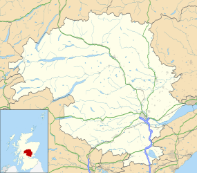
Acharn (Scottish Gaelic: Àth a' Chàirn) is a hamlet in the Kenmore parish of the Scottish council area of Perth and Kinross. It is situated on the south shore of Loch Tay close to its eastern end.[1] The hamlet was built in the early 19th century to house workers from the surrounding estates. A mill was constructed to harness the power of the nearby Acharn Burn, and this was converted into a craft centre in the 1970s but is not one anymore. There is a bridge in the middle that goes over the Acharn burn.
The Falls of Acharn, a series of waterfalls with a total height of 24.5 metres (80 ft) set in a steep wooded gorge, are a popular tourist attraction on the nearby Acharn Burn south of the hamlet, which is a dangerous place to walk dogs without leads. The Archarn Falls Walk is about 1 mile straight up and down from the village. This walk has fabulous views of the falls above the village of Acharn, which is a short distance from the Scottish Crannog Centre on the south of Loch Tay Road, just outside the village of Kenmore. The upper falls have a timber walkway constructed by the Officers and men of the 202 Field Squadron RE (V) in June 1989. There is also a 'Hermits Cave' possibly constructed by the Victorians as a kind of folly.
William Wordsworth is known to have visited the falls in 1803 with his sister Dorothy, who noted in her diary the "very beautiful prospect" available of Loch Tay from the falls.
The 'Scottish Crannog Centre' with a reconstructed prehistoric lake dwelling is a short distance to the east at Croft-na-Caber.
The former mill is now a house.
References
- ↑ "Loch Tay and Glen Dochart", Ordnance Survey Landranger Map (B2 ed.), 2008, ISBN 0-319-22979-3
External links
| Wikimedia Commons has media related to Acharn, Perth and Kinross. |