Čelić
| Čelić Челић | |
|---|---|
| Municipality and town | |
 | |
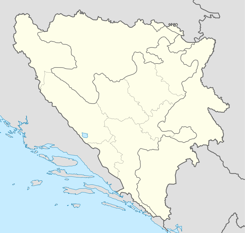
 Location of Čelić within Bosnia and Herzegovina. | |
 Čelić Location of Čelić | |
| Coordinates: 44°43′N 18°49′E / 44.717°N 18.817°ECoordinates: 44°43′N 18°49′E / 44.717°N 18.817°E | |
| Country |
|
| Entity | Federation of Bosnia and Herzegovina |
| Government | |
| • Municipality president | Sead Muminović |
| Area | |
| • Total | 140 km2 (50 sq mi) |
| Population (2013 census) | |
| • Total | 12,083 |
| • Density | 86/km2 (220/sq mi) |
| Time zone | CET (UTC+1) |
| • Summer (DST) | CEST (UTC+2) |
| Area code(s) | +387 35 |
| Website | celic.ba |
Čelić is a municipality located in the northeastern part of Bosnia and Herzegovina. It is part of the Tuzla Canton of the Federation of Bosnia and Herzegovina. Čelić was part of the municipality of Lopare prior to the war in Bosnia and Herzegovina. The part of the municipality that was controlled by the Army of the Republic of Bosnia and Herzegovina became the municipality of Čelić.
Geography
The municipality is 132 km2 (51 sq mi) with a population of 12,000. It is located in the hills of Majevica. Čelić borders the municipalities of Srebrenik, Tuzla, Lopare (RS) and the Brčko District.
See also
| Wikimedia Commons has media related to Čelić. |
This article is issued from Wikipedia - version of the 10/29/2014. The text is available under the Creative Commons Attribution/Share Alike but additional terms may apply for the media files.