Zier Cors, Illinois
| Zier Cors, Illinois | |
|---|---|
| Unincorporated community | |
 Zier Cors, Illinois  Zier Cors, Illinois | |
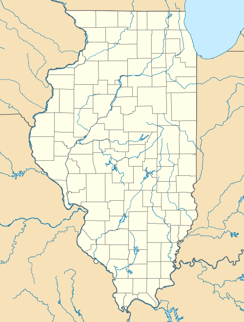
| Coordinates: 42°09′14″N 89°49′25″W / 42.15389°N 89.82361°WCoordinates: 42°09′14″N 89°49′25″W / 42.15389°N 89.82361°W | |
| Country | United States |
| State | Illinois |
| County | Carroll |
| Elevation | 912 ft (278 m) |
| Time zone | Central (CST) (UTC-6) |
| • Summer (DST) | CDT (UTC-5) |
| Area code(s) | 815 & 779 |
| GNIS feature ID | 423348[1] |
Zier Cors, or Zier Corners, is an unincorporated community in Carroll County, Illinois, United States. Zier Cors is located north of Lanark in Cherry Grove–Shannon Township, at the junction of Illinois Route 72 and Illinois Route 73.
The community takes its name from the Zier family. The Ziers were a prominent farming family of the area.[2]
References
- ↑ "US Board on Geographic Names". United States Geological Survey. 2007-10-25. Retrieved 2008-01-31.
- ↑ "Carroll County Directory: Cherry Grove Township". The History of Carroll County, Illinois. 1878. p. 474.
Municipalities and communities of Carroll County, Illinois, United States | ||
|---|---|---|
| Cities | ||
| Villages | ||
| Townships | ||
| Unincorporated communities | ||
| Ghost town | ||
| Footnotes | ‡This populated place also has portions in an adjacent county or counties | |
This article is issued from Wikipedia - version of the 10/29/2016. The text is available under the Creative Commons Attribution/Share Alike but additional terms may apply for the media files.