Warburton East, Victoria
| Warburton East Victoria | |||||||||||||
|---|---|---|---|---|---|---|---|---|---|---|---|---|---|
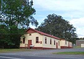 Public hall | |||||||||||||
 Warburton East | |||||||||||||
| Coordinates | 37°44′S 145°44′E / 37.733°S 145.733°ECoordinates: 37°44′S 145°44′E / 37.733°S 145.733°E | ||||||||||||
| Population | 887 (2011 census)[1] | ||||||||||||
| Postcode(s) | 3799 | ||||||||||||
| Elevation | 159 m (522 ft) | ||||||||||||
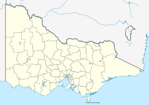
| Location | |||||||||||||
| LGA(s) | Shire of Yarra Ranges | ||||||||||||
| State electorate(s) | Eildon | ||||||||||||
| Federal Division(s) | McEwen | ||||||||||||
| |||||||||||||
Warburton East is a town in Victoria, Australia, 67 km east from Melbourne's central business district. Its local government area is the Shire of Yarra Ranges. At the 2011 census, Warburton East had a population of 887.[1]
The Post Office opened on 1 November 1921 and closed in 1975.[2]
References
- 1 2 Australian Bureau of Statistics (31 October 2012). "East Warburton (State Suburb)". 2011 Census QuickStats. Retrieved 12 December 2014.
- ↑ Premier Postal History, Post Office List, retrieved 11 April 2008
External links
![]() Media related to Warburton East, Victoria at Wikimedia Commons
Media related to Warburton East, Victoria at Wikimedia Commons
This article is issued from Wikipedia - version of the 11/30/2015. The text is available under the Creative Commons Attribution/Share Alike but additional terms may apply for the media files.