Utani Apu
| Utani Apu | |
|---|---|
 Utani Apu Location in Bolivia | |
| Highest point | |
| Elevation | 4,060 m (13,320 ft) [1] |
| Coordinates | 17°03′40″S 68°55′33″W / 17.06111°S 68.92583°WCoordinates: 17°03′40″S 68°55′33″W / 17.06111°S 68.92583°W |
| Geography | |
| Location |
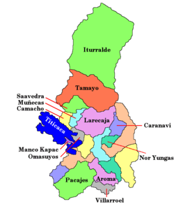
Bolivia, La Paz Department |
| Parent range | Andes |
Utani Apu[2] (Aymara)[3] is a 4,060 m (13,320 ft) mountain in the Andes of Bolivia. It is located in the La Paz Department, Ingavi Province, San Andrés de Machaca Municipality, and in the Pacajes Province, Caquiaviri Municipality.[2][4]
References
- ↑ Bolivian IGM map 1:100,000 Caquiaviri 3136
- 1 2 Ley No. 2350, Ley de 7 de Mayo de 2002
- ↑ Radio San Gabriel, "Instituto Radiofonico de Promoción Aymara" (IRPA) 1993, Republicado por Instituto de las Lenguas y Literaturas Andinas-Amazónicas (ILLLA-A) 2011, Transcripción del Vocabulario de la Lengua Aymara, P. Ludovico Bertonio 1612 (Spanish-Aymara-Aymara-Spanish dictionary)
- ↑ "San Andrés de Machaca". INE, Bolivia. Retrieved February 5, 2016. (unnamed)
This article is issued from Wikipedia - version of the 2/5/2016. The text is available under the Creative Commons Attribution/Share Alike but additional terms may apply for the media files.