Tofty, Alaska
| Tofty | |
|---|---|
| Ghost town | |
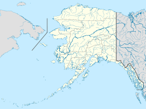 Tofty Location within the state of Alaska | |
| Coordinates: 65°05′36″N 150°52′38″W / 65.09333°N 150.87722°WCoordinates: 65°05′36″N 150°52′38″W / 65.09333°N 150.87722°W | |
| Country | United States |
| State | Alaska |
| Census area | Yukon-Koyukuk |
| Government | |
| • State senator | Click Bishop (R) |
| • State rep. | Dave Talerico (R) |
| Time zone | Alaska (AKST) (UTC-9) |
| • Summer (DST) | AKDT (UTC-8) |
Tofty is a ghost town in the Yukon-Koyukuk Census Area in the U.S. state of Alaska. It was a gold-mining town known for its high production.
Location
Tofty is located at approximately 65°6′31″N 150°31′55″W / 65.10861°N 150.53194°W. It is about 15 miles west of Manley Hot Springs (25 miles by road), and approx. 91 miles West Northwest of Fairbanks, Alaska (175 miles by road). Tofty is located beyond the end of the Elliot Highway (Alaska Highway 2) and at the end of Tofty Road.
Tofty Road
Tofty Road leaves the Elliot Highway to the North about 1/2 mile East of Manley Hot Springs. There is no maintenance and there are no more road signs past mile 1.5 and is marked "impassable" by several geological maps. It is a one-lane dirt road littered with brush and large rocks. In several places, culverts have been clogged by silt and debris and several creeks have diverted around them and over the road. During 2015, a road between Manley Hot Springs and Tanana will be built, which will use, improve and extend the Tofty road.[1]
References
Municipalities and communities of Yukon–Koyukuk Census Area, Alaska, United States | ||
|---|---|---|
| Cities | 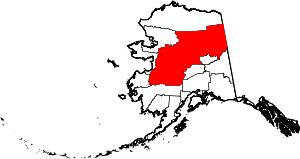 | |
| CDPs | ||
| Unincorporated communities | ||
| Ghost towns | ||