Thekpui
| Thekpui | |
|---|---|
| village | |
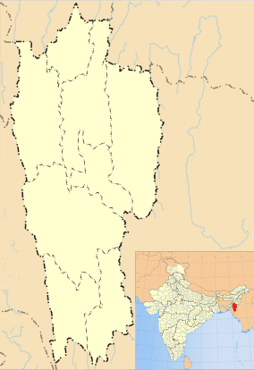 Thekpui  Thekpui Location in Mizoram, India | |
| Coordinates: 23°03′43″N 93°14′22″E / 23.0619738°N 93.2395077°ECoordinates: 23°03′43″N 93°14′22″E / 23.0619738°N 93.2395077°E | |
| Country | India |
| State | Mizoram |
| District | Champhai |
| Block | Khawbung |
| Elevation | 1,319 m (4,327 ft) |
| Population (2011) | |
| • Total | 320 |
| Time zone | IST (UTC+5:30) |
| 2011 census code | 271374 |
Thekpui is a village in the Champhai district of Mizoram, India. It is located in the Khawbung R.D. Block.[1]
Demographics
At the time of the 2011 census of India, Thekpui had 62 households. The effective literacy rate (i.e. the literacy rate of population excluding children aged 6 and below) was 95.77%.[2]
| Total | Male | Female | |
|---|---|---|---|
| Population | 320 | 170 | 150 |
| Children aged below 6 years | 60 | 32 | 28 |
| Scheduled caste | 0 | 0 | 0 |
| Scheduled tribe | 315 | 166 | 149 |
| Literates | 249 | 137 | 112 |
| Workers (all) | 177 | 93 | 84 |
| Main workers (total) | 176 | 92 | 84 |
| Main workers: Cultivators | 175 | 92 | 83 |
| Main workers: Agricultural labourers | 0 | 0 | 0 |
| Main workers: Household industry workers | 0 | 0 | 0 |
| Main workers: Other | 1 | 0 | 1 |
| Marginal workers (total) | 1 | 1 | 0 |
| Marginal workers: Cultivators | 1 | 1 | 0 |
| Marginal workers: Agricultural labourers | 0 | 0 | 0 |
| Marginal workers: Household industry workers | 0 | 0 | 0 |
| Marginal workers: Others | 0 | 0 | 0 |
| Non-workers | 143 | 77 | 66 |
References
- ↑ "Mizoram villages" (PDF). Land Records Information Systems Division, NIC. Retrieved 22 August 2015.
- 1 2 "District Census Handbook - Champhai" (PDF). 2011 Census of India. Directorate of Census Operations, Mizoram. Retrieved 22 August 2015.
This article is issued from Wikipedia - version of the 9/9/2016. The text is available under the Creative Commons Attribution/Share Alike but additional terms may apply for the media files.