Kawlkulh
| Kawlkulh | |
|---|---|
| village | |
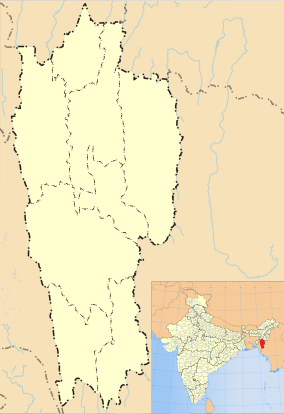 Kawlkulh  Kawlkulh Location in Mizoram, India | |
| Coordinates: 23°36′55″N 93°05′02″E / 23.6152651°N 93.08392°ECoordinates: 23°36′55″N 93°05′02″E / 23.6152651°N 93.08392°E | |
| Country | India |
| State | Mizoram |
| District | Champhai |
| Block | Khawzawl |
| Elevation | 1,116 m (3,661 ft) |
| Population (2011) | |
| • Total | 3,094 |
| Time zone | IST (UTC+5:30) |
| 2011 census code | 271306 |
Kawlkulh is a village in the Champhai district of Mizoram, India. It is located in the Khawzawl R.D. Block.[1]
Demographics
According to the 2011 census of India, Kawlkulh has 700 households. The effective literacy rate (i.e. the literacy rate of population excluding children aged 6 and below) is 94.87%.[2]
| Total | Male | Female | |
|---|---|---|---|
| Population | 3094 | 1531 | 1563 |
| Children aged below 6 years | 406 | 207 | 199 |
| Scheduled caste | 0 | 0 | 0 |
| Scheduled tribe | 2970 | 1461 | 1509 |
| Literates | 2550 | 1284 | 1266 |
| Workers (all) | 1491 | 865 | 626 |
| Main workers (total) | 1397 | 841 | 556 |
| Main workers: Cultivators | 900 | 516 | 384 |
| Main workers: Agricultural labourers | 118 | 53 | 65 |
| Main workers: Household industry workers | 18 | 15 | 3 |
| Main workers: Other | 361 | 257 | 104 |
| Marginal workers (total) | 94 | 24 | 70 |
| Marginal workers: Cultivators | 54 | 9 | 45 |
| Marginal workers: Agricultural labourers | 28 | 6 | 22 |
| Marginal workers: Household industry workers | 2 | 1 | 1 |
| Marginal workers: Others | 10 | 8 | 2 |
| Non-workers | 1603 | 666 | 937 |
References
- ↑ "Mizoram villages" (PDF). Land Records Information Systems Division, NIC. Retrieved 2015-08-22.
- 1 2 "District Census Handbook - Champhai" (PDF). 2011 Census of India. Directorate of Census Operations, Mizoram. Retrieved 2015-08-22.
This article is issued from Wikipedia - version of the 9/9/2016. The text is available under the Creative Commons Attribution/Share Alike but additional terms may apply for the media files.