Tatitu Qullu
| Tatitu Qullu | |
|---|---|
 Tatitu Qullu Location in Bolivia | |
| Highest point | |
| Elevation | 4,528 m (14,856 ft) [1] |
| Coordinates | 17°18′29″S 69°12′52″W / 17.30806°S 69.21444°WCoordinates: 17°18′29″S 69°12′52″W / 17.30806°S 69.21444°W |
| Geography | |
| Location |
Bolivia, La Paz Department José Manuel Pando Province, Pacajes Province |
| Parent range | Andes |
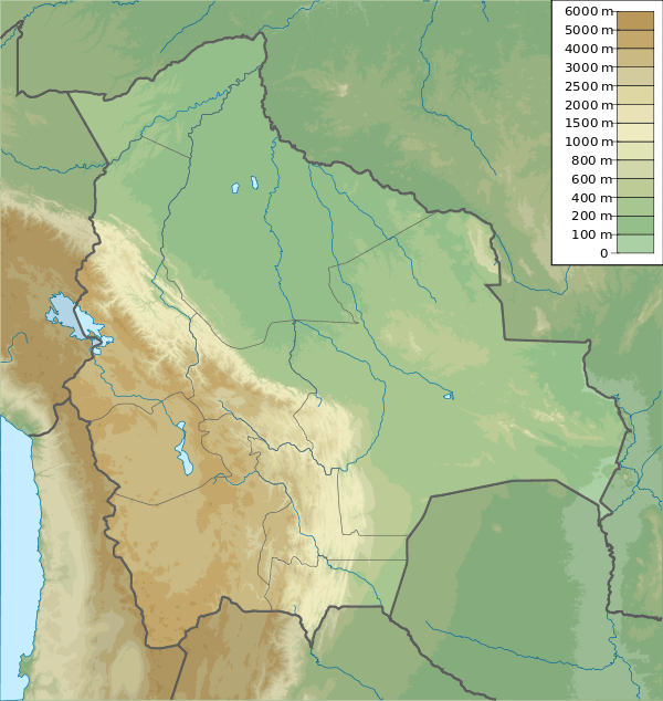
Tatitu Qullu (Aymara tatitu God (term of endearment for 'father'), qullu mountain,[2] also spelled Tatito Khollu, Tatitu Kkollu) is a 4,528-metre (14,856 ft) high mountain in the Andes of Bolivia. It is situated in the La Paz Department, José Manuel Pando Province, Santiago de Machaca Municipality, and in the Pacajes Province, Charaña Municipality. Tatitu Qullu lies north-east of the Sirk'i volcano and south of the village of Berenguela.[1][3]
References
- 1 2 Bolivian IGM map 1:50,000 Berenguela 5742-II
- ↑ Yatiqirinaka Aru Pirwa (Aymara-Spanish Dictionary)
- ↑ "Santiago de Machaca". INE, Bolivia. Retrieved November 7, 2014.
This article is issued from Wikipedia - version of the 12/7/2015. The text is available under the Creative Commons Attribution/Share Alike but additional terms may apply for the media files.
