Tarrington, Victoria
| Tarrington Victoria | |
|---|---|
 Tarrington | |
| Coordinates | 37°46′S 142°06′E / 37.767°S 142.100°ECoordinates: 37°46′S 142°06′E / 37.767°S 142.100°E |
| Population | 193 (2006 census)[1] |
| Postcode(s) | 3301 |
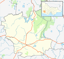
| Location | |
| LGA(s) | Shire of Southern Grampians |
| State electorate(s) | Lowan |
| Federal Division(s) | Wannon |
Tarrington is a village in the Southern Grampians Shire in South-west Victoria, Australia close to Hamilton. It has a large Lutheran Church, along with a school, church, hall, oval, cafe/restaurant, computer repair service, quarry, day-care centre and a fire station. At the 2006 census, Tarrington had a population of 193.[1]
Tarrington was formerly known as Bukecy or Hochkirch, named by Sorbian immigrants coming from the area of that name in Saxony, Germany. The town was settled in the early 1860s and the Hochkirch Post Office opened on February 15, 1861 (now closed and replaced by a hut that houses PO boxes) and renamed Tarrington March 1, 1918 due to the anti-German sentiment of that time.[2]
See also
References
- 1 2 Australian Bureau of Statistics (25 October 2007). "Tarrington (State Suburb)". 2006 Census QuickStats. Retrieved 27 September 2010.
- ↑ Premier Postal History, Post Office List, retrieved 2008-04-11
This article is issued from Wikipedia - version of the 11/17/2015. The text is available under the Creative Commons Attribution/Share Alike but additional terms may apply for the media files.