Sonai
| Sonai সোনাই | |
|---|---|
| Town | |
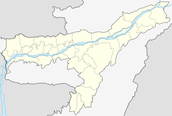 Sonai  Sonai Location in Assam | |
| Coordinates: 24°43′57″N 92°53′20″E / 24.7326006°N 92.8888912°ECoordinates: 24°43′57″N 92°53′20″E / 24.7326006°N 92.8888912°E | |
| Country |
|
| State | Assam |
| District | Cachar |
| Elevation | 31 m (102 ft) |
| Population (2011) | |
| • Total | 324,315 |
| Languages | |
| • Official | Bengali |
| Time zone | IST (UTC+5:30) |
| Vehicle registration | AS |
Sonai (Pron:/'sə(ʊ)'nʌɪ/) (Bengali: সোনাই) is a town, circle and block in Cachar district in the state of Assam, India. It is located 18.5 km from District headquarters Silchar.
Geography
Sonai is located at 24°43′57″N 92°53′20″E / 24.7326006°N 92.8888912°E.[1] It has an average elevation of 31 metres (101.706 feet).
Demographics
As per 2011 census of India, Sonai has population is 324,315 of which 51% are male and 49% are female. Sonai has an average literacy rate of 80% : male literacy is 54% and female literacy is 46%.
Division
There is one Revenue Circle with 203 (two hundred three) Revenue Villages and three Development Blocks viz.; (1) Sonai Development Block, (2) Narsingpur Development Block and (3) Palonghat Development Block.
Education
College
Schools
- Sonai NGHS School.
- Sonai Senior Madrassa School.
- Sonai MV School.
- Sonai Jubati Singha Manipuri High School.
Transport
By rail
The nearest is no Railway Station nearby Sonai town. However, Silchar railway station is 20 km from the town.
By road
The national highway NH 306 passes through the town and connects this place to Mizoram State.
Politics
Sonai is part of Silchar (Lok Sabha constituency).[2] It is also a part of Sonai (Vidhan Sabha constituency).
References
- ↑ - Sonai
- ↑ "List of Parliamentary & Assembly Constituencies" (PDF). Assam. Election Commission of India.