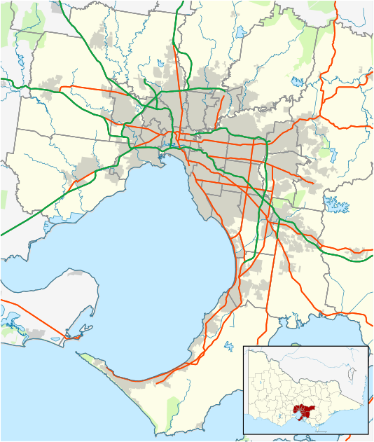
Somerton, Victoria
| Somerton Melbourne, Victoria | |||||||||||||
|---|---|---|---|---|---|---|---|---|---|---|---|---|---|
 view from north west | |||||||||||||
 Somerton | |||||||||||||
| Coordinates | 37°37′59″S 144°57′00″E / 37.633°S 144.950°ECoordinates: 37°37′59″S 144°57′00″E / 37.633°S 144.950°E | ||||||||||||
| Postcode(s) | 3062 | ||||||||||||
| Location | 21 km (13 mi) from Melbourne | ||||||||||||
| LGA(s) | City of Hume | ||||||||||||
| State electorate(s) | Yuroke, Broadmeadows | ||||||||||||
| Federal Division(s) | Calwell | ||||||||||||
| |||||||||||||
Somerton is a suburb of Melbourne, Victoria, Australia, 21 km north of Melbourne's central business district. Its local government area is the City of Hume.
Somerton is mostly an industrial and business suburb, and has a number of industrial parks including the Austrak Business Park, Somerton Logistics Centre and the Northgate Distribution Centre.
Transport in Somerton include bus route 532 (Craigieburn - Broadmeadows) and SmartBus route 901 (Frankston - Melbourne Airport). Roxburgh Park Station on the Craigieburn line, and Upfield Station on the Upfield line are the nearest railway stations to Somerton. Somerton originally had a railway station that opened in 1881 and closed to passengers in 1960.
History
Somerton Post Office first opened on 1 January 1854 and closed in 1864. It reopened in 1892 some time after the railway line opened and again closed in 1966. In 1994 the Somerton Business and Delivery Centre opened. [1]
See also
- City of Whittlesea - the local government area of which Somerton was a part
- Shire of Bulla - the former local government area of which Somerton was a part
References
- ↑ Premier Postal History, Post Office List, retrieved 11 April 2008