Snake Hill Wildlife Management Area
| Snake Hill Wildlife Management Area | |
| West Virginia Wildlife Management Area | |
 Cheat River with Snake Hill WMA on the right hillside. | |
| Country | United States |
|---|---|
| State | West Virginia |
| Counties | Monongalia, Preston |
| Elevation | 1,634 ft (498.0 m) |
| Coordinates | 39°37′45″N 79°46′36″W / 39.62917°N 79.77667°WCoordinates: 39°37′45″N 79°46′36″W / 39.62917°N 79.77667°W |
| Area | 3,092 acres (1,251.3 ha) [1] |
| Owner | West Virginia Division of Natural Resources, Wildlife Resources Section |
| IUCN category | IV - Habitat/Species government Area |
| Nearest city | Morgantown, West Virginia |
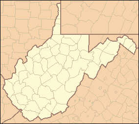 Location of Snake Hill Wildlife Management Area in West Virginia | |
| Website: WVDNR District 1 Wildlife Management Areas | |
The Snake Hill Wildlife Management Area is a hilly area covering 3,092 acres (1,251 ha)[1] along the Cheat River canyon in Monongalia and Preston Counties, West Virginia. The wildlife management area is largely lies directly south of Coopers Rock State Forest, protecting the southern side of Cheat Canyon.
See also
References
External links
This article is issued from Wikipedia - version of the 9/4/2016. The text is available under the Creative Commons Attribution/Share Alike but additional terms may apply for the media files.