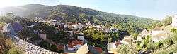
São Gião
| São Gião | |
|---|---|
| Parish | |
 | |
 São Gião | |
| Coordinates: 40°20′13″N 7°47′56″W / 40.337°N 7.799°WCoordinates: 40°20′13″N 7°47′56″W / 40.337°N 7.799°W | |
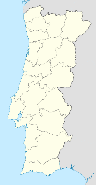
| Country | Portugal |
| Region | Centro |
| Subregion | Pinhal Interior Norte |
| Intermunic. comm. | Região de Coimbra |
| District | Coimbra |
| Municipality | Oliveira do Hospital |
| Area | |
| • Total | 14.55 km2 (5.62 sq mi) |
| Elevation | 704 m (2,310 ft) |
| Population (2011) | |
| • Total | 425 |
| • Density | 29/km2 (76/sq mi) |
São Gião is a parish (freguesia in Portuguese), in the North of Portugal, on Serra da Estrela, the highest mountain range in Portugal. It belongs to the municipality of Oliveira do Hospital, and the district (distrito) of Coimbra. The population in 2011 was 425,[1] in an area of 14.55 km².[2]
It lies at an altitude of 704m, in the Beira region.
It is an old Roman trading post. The old Roman bridge is still visible and in use to this day.
The town has a magnificent church - Igreja Matrix, also known as the Igreja Matriz de São Gião or the Catedral das Beiras. This is an excellent building in the Baroque style that dates back to 1795. It has 102 magnificent hand painted panels on the roof that are well worth the trip to this small, hidden village on the slopes of the Serra da Estrela.
See also
| Wikimedia Commons has media related to São Gião. |