Radan (mountain)
| Radan | |
|---|---|
 Devil's Town | |
| Highest point | |
| Elevation | 1,408 m (4,619 ft) [1] |
| Coordinates | 43°00′12″N 21°29′48″E / 43.00333°N 21.49667°ECoordinates: 43°00′12″N 21°29′48″E / 43.00333°N 21.49667°E |
| Geography | |
 Radan Serbia | |
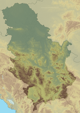
| Location | Southern Serbia |
Radan (Serbian Cyrillic: Радан) is a mountain in southern Serbia, near the town of Kuršumlija. Its highest peak, Šopot, has an elevation of 1,408 meters above sea level.
Radan separates the valleys of the Toplica and Jablanica rivers. It is well covered with deciduous and evergreen forests.[2]
The best known spot on Radan is the Devil's Town – a peculiar rock formation consisting of hundreds of mushroom-like posts, located on its southern slopes.[3] Near the Devil's Town there are ruins of Ivanova kula – city of Ivan Kosančić, medieval military commander.[4] Justiniana Prima (Caričin grad), a Byzantine city from the 6th century, is located on the southeast of the mountain, near Lebane.[2]
In summer 2010, Radan attracted media attention because of a "magnetic hill" located on a road near the village of Ivanje. After initial sensationalist articles about "anti-gravity", it soon turned out that it is just an optical illusion. Still, the hill is seen as an opportunity for a tourist attraction.[5]
References
- ↑ Jovan Đokić. "Katalog planina Srbije". PSD Kopaonik Beograd.
- 1 2 Radan (in Serbian), PD Pobeda, retrieved 2010-08-19
- ↑ About Devil's Town, Official Devil's Town website, retrieved 2010-08-19
- ↑ http://www.tokursumlija.rs/ivan_kula.html
- ↑ Tamo gde je nebo palo dole (in Serbian), Vreme, 2010-08-12, retrieved 2010-08-19