Qillwani
| Qillwani | |
|---|---|
.jpg) | |
| Highest point | |
| Elevation | 5,828 m (19,121 ft) [1] |
| Coordinates | 15°58′36″S 68°23′43″W / 15.97667°S 68.39528°WCoordinates: 15°58′36″S 68°23′43″W / 15.97667°S 68.39528°W |
| Geography | |
 Qillwani Location in Bolivia | |
| Location |
Bolivia, La Paz Department |
| Parent range | Andes, Cordillera Real |
| Climbing | |
| First ascent | 1964[1] |
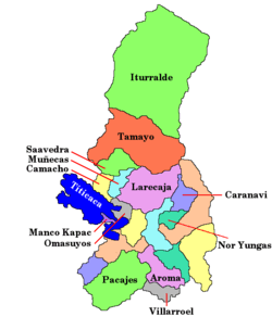
Qillwani (Aymara qillwa, qiwña, qiwlla Andean gull,[2][3][4] -ni a suffix to indicate ownership, "the one with the Andean gull", also spelled Kelluani, Quellhuani, Quelluani) is a 5,828 m (19,121 ft) high mountain in the Cordillera Real in the Andes of Bolivia. It is located in the La Paz Department, Larecaja Province, near the western border of the Guanay Municipality. It lies southeast of Ch'iyar Juqhu, northwest of Chachakumani and northeast of Patapatani.[5][6]
Qillwani (Kellhuani) is also the name of the river which originates southwest of the mountain. Its waters flow to Lake Titicaca along the village of Qillwani (Kellhuani, Kellwani).[7]
References
- 1 2 Taken from Mountaineering in the Andes by Jill Neate, Bolivia, RGS-IBG Expedition Advisory Centre, 2nd edition, May 1994
- ↑ "Diccionario Bilingüe, Castellano - Aymara, 2002". Félix Layme Pairumani. Retrieved May 20, 2015. (see: Gaviota)
- ↑ Programa de Educación Intercultural Bilingüe, Programa de Estudio, Primer Año Básico, Sector Lengua Indígena Aymara, Programa de Educación Intercultural Bilingüe, Ministerio de Educación, República de Chile, 2011
- ↑ Radio San Gabriel, "Instituto Radiofonico de Promoción Aymara" (IRPA) 1993, Republicado por Instituto de las Lenguas y Literaturas Andinas-Amazónicas (ILLLA-A) 2011, Transcripción del Vocabulario de la Lengua Aymara, P. Ludovico Bertonio 1612 (Spanish-Aymara-Aymara-Spanish dictionary)
- ↑ "Guanay". INE, Bolivia. Retrieved May 20, 2015. (unnamed)
- ↑ "Chearoco e Chachacomani : Fim do mistério na cordilheira Real". http://altamontanha.com. Retrieved May 20, 2015. External link in
|publisher=(help) see labelled photo of Ch'iyar Juqhu, Qillwani and Chachakumani - ↑ Bolivian IGM map 1:50,000 Lago Khara Kkota
This article is issued from Wikipedia - version of the 12/6/2015. The text is available under the Creative Commons Attribution/Share Alike but additional terms may apply for the media files.