Ponta do Sol (Boa Vista)
| Ponta do Sol | |
|---|---|
|
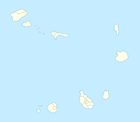
Ponta do Sol, its location is in the northwest of the island | |
 | |
| Location | Northwestern Boa Vista, Cape Verde |
| Coordinates | 16°13′51″N 22°54′35″W / 16.2309°N 22.9098°WCoordinates: 16°13′51″N 22°54′35″W / 16.2309°N 22.9098°W |
| Offshore water bodies | Atlantic Ocean |

Ponta do Sol (Portuguese for the point of the sun) is a headland located in the northwest of the island of Boa Vista. Cape Verde. It is the island's northernmost point. The town Sal Rei is approximately 6 km (3.7 mi) to the south, and the hill Vigia is 2 km (1.2 mi) to the south, to the east is Ervatão Beach and Praia de Atalanta. The promontory and the area around around is designated a protected area as a nature reserve with a total of 467 hectares and includes the marine portion up to around 300 meters within the coast, of the marine part covers 283 hectares.[1]
The nature reserve protects emblematic birds including ospreys and a volcanic landscape with fossil dunes. A church named Nossa Senhora de Fátima (Our Lady of Fatima) church is to the north. Streams in the promontory's area includes Ribeira de Poderoso. It also features a ligthouse, it appeared in a Cape Verdean stamp in 2004.
Around 2010, approximately ten power generating windmills were installed in the track linking the island point and Sal Rei. They provide renewable electricity to the whole island. It is 1 km (0.62 mi) southeast of the point.
References
- ↑ "Protected areas of Cape Verde" (in Portuguese).
The island of Boa Vista and the surrounding islands | ||
|---|---|---|
| Communities and settlements |  | |
| Parishes | ||
| Mountains | ||
| Beaches | ||
| Other geographical features |
| |
| Features surrounding the island |
| |