Pokerville, California
Coordinates: 38°28′50″N 120°51′34″W / 38.48056°N 120.85944°W
| Pokerville | |
|---|---|
| Former settlement | |
 Pokerville Location in California | |
| Coordinates: 38°28′50″N 120°51′34″W / 38.48056°N 120.85944°W | |
| Country | United States |
| State | California |
| County | Amador County |
| Elevation[1] | 1,040 ft (317 m) |
Pokerville (also, Puckerville) is a former settlement in Amador County, California. It lay at an elevation of 1040 feet (317 m). It was superseded by Plymouth.
References
Municipalities and communities of Amador County, California, United States | ||
|---|---|---|
| Cities | 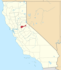 | |
| CDPs | ||
| Unincorporated communities | ||
| Ghost towns |
| |
| Footnotes | ‡This CDP also has portions in an adjacent county or counties | |
This article is issued from Wikipedia - version of the 8/11/2011. The text is available under the Creative Commons Attribution/Share Alike but additional terms may apply for the media files.