Electra, California
Coordinates: 38°19′56″N 120°40′17″W / 38.33222°N 120.67139°W
| Electra | |
|---|---|
| Former settlement | |
 Electra  Electra Location in California | |
| Coordinates: 38°19′56″N 120°40′17″W / 38.33222°N 120.67139°W | |
| Country | United States |
| State | California |
| County | Amador County |
| Elevation[1] | 755 ft (230 m) |
Electra (formerly, Whites Bar)[2] is a former settlement in Amador County, California. It lay on the north bank of the Mokelumne River,[2] at an elevation of 755 feet (230 m). Its name came from a nearby electric generating facility.[2]
A post office operated at Electra from 1900 to 1923.[2]
References
External links
Municipalities and communities of Amador County, California, United States | ||
|---|---|---|
| Cities | 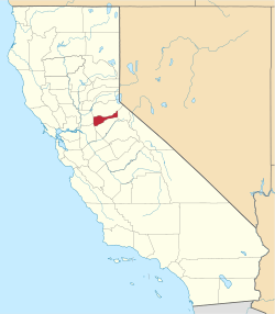 | |
| CDPs | ||
| Unincorporated communities | ||
| Ghost towns |
| |
| Footnotes | ‡This CDP also has portions in an adjacent county or counties | |
This article is issued from Wikipedia - version of the 7/18/2016. The text is available under the Creative Commons Attribution/Share Alike but additional terms may apply for the media files.