Oğuzkənd
| Oğuzkənd | |
|---|---|
| Municipality | |
 Oğuzkənd | |
| Coordinates: 39°31′19″N 45°02′39″E / 39.52194°N 45.04417°ECoordinates: 39°31′19″N 45°02′39″E / 39.52194°N 45.04417°E | |
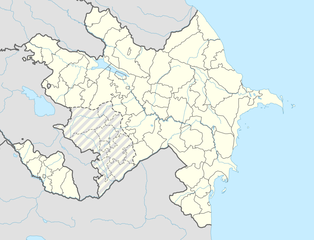
| Country |
|
| Autonomous republic | Nakhchivan |
| Rayon | Sharur |
| Population (2005) | |
| • Total | 722 |
| Time zone | AZT (UTC+4) |
Oğuzkənd (also, Oghuzkand and Oguz-kend; until 2003, Sovxoz[1]) is a municipality and village in the Sharur Rayon of Nakhchivan, Azerbaijan. It is located 16 km away from the district center. Its population is busy with foddering and animal husbandry. There are secondary school, club and a medical center in the village. It has a population of 722.[2]
Etymology
Its former name was Sovxoz (Sovkhoz). The name of Sovxoz was established during the Soviet period. Sovkhoz is a shortened version of the phrase of "Soviet farm". The name of the Oguzkənd village is related with the name of the Oghuz Turks and means "the village of Oghuzs".[3]
References
- ↑ Azerbaijan Parliament renaming law
- ↑ ANAS, Azerbaijan National Academy of Sciences (2005). Nakhchivan Encyclopedia. volume I. Baku: ANAS. p. 201. ISBN 5-8066-1468-9.
- ↑ Encyclopedic dictionary of Azerbaijan toponyms. In two volumes. Volume I. p. 304. Baku: "East-West". 2007. ISBN 978-9952-34-155-3.
.svg.png)
This article is issued from Wikipedia - version of the 7/26/2016. The text is available under the Creative Commons Attribution/Share Alike but additional terms may apply for the media files.