Günnüt
Coordinates: 39°46′27″N 45°02′53″E / 39.77417°N 45.04806°E
| Günnüt | |
|---|---|
 Günnüt | |
| Coordinates: 39°46′27″N 45°02′53″E / 39.77417°N 45.04806°E | |
| Country |
|
| Autonomous republic | Nakhchivan |
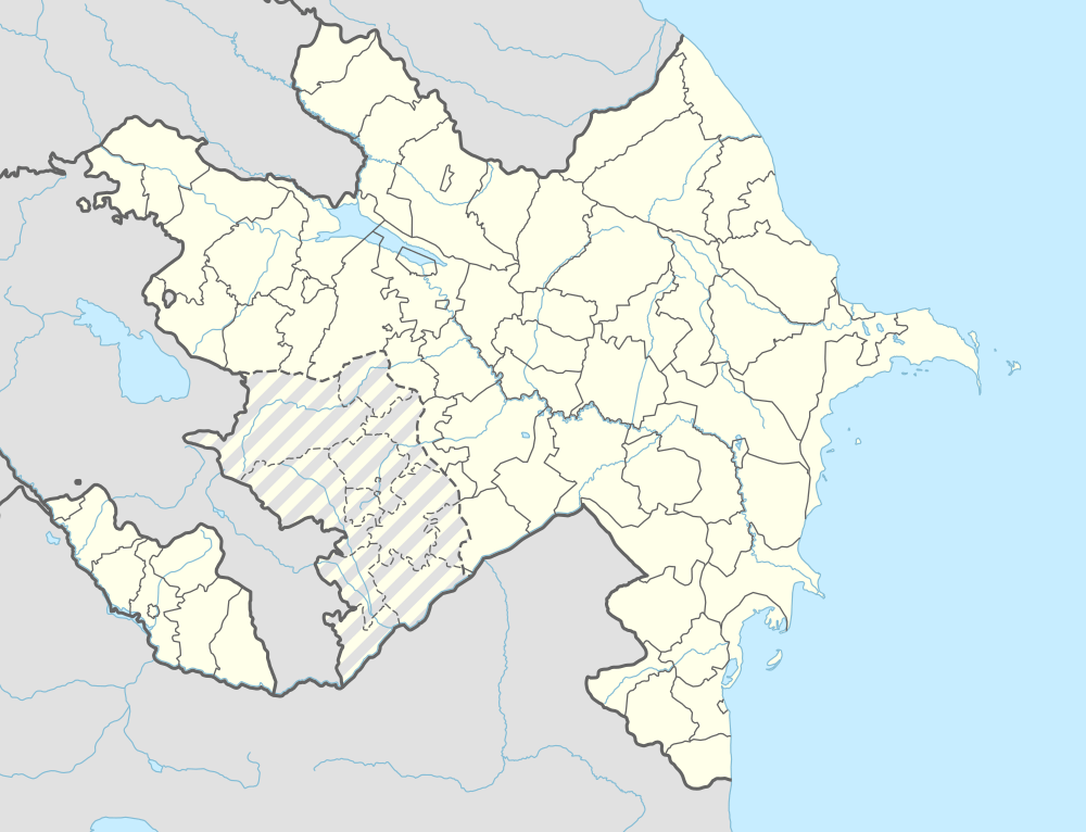
| District | Sharur |
| Time zone | AZT (UTC+4) |
Günnüt (also, Gyunnyut and Gyunnyut-Dzhafarli) is a village in the Sharur District of Nakhchivan Autonomous Republic, Azerbaijan. It is located in the right side of the Nakhchivan-Sadarak highway, 22 km away from the district center, on the plain. The village is completely destroyed by the Armenians in 1992, the population moved to the Mahmudkənd village.[1]
Etymology
Its previous name was Günnüt Cəfərli (Gyunnyut Dzhafarli). The settlement was built in the place called Günnüt by the families belonging to Jafarli generation. In the Toponomy the word of günnüt means "meadow, plain," but as a distorted form of günnük word, it means "place which the sun hits", "last spring greens, autumn pasture". According to some researchers, this name is related with the name of the günnüt tribe which have came to Nakhchivan among the Mongols.[2]
.svg.png)