Moussoro Airport
| Moussoro Airport | |||||||||||
|---|---|---|---|---|---|---|---|---|---|---|---|
| IATA: MXR – ICAO: none | |||||||||||
| Summary | |||||||||||
| Airport type | Public | ||||||||||
| Serves | Moussoro | ||||||||||
| Location |
| ||||||||||
| Elevation AMSL | 984 ft / 300 m | ||||||||||
| Coordinates | 13°38′45.7″N 016°30′6.3″E / 13.646028°N 16.501750°ECoordinates: 13°38′45.7″N 016°30′6.3″E / 13.646028°N 16.501750°E | ||||||||||
| Map | |||||||||||
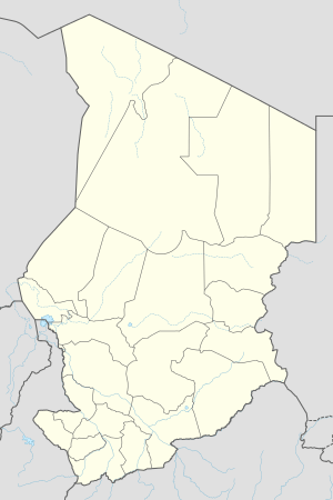 MXR Location of Moussoro Airport in Chad | |||||||||||
| Runways | |||||||||||
| |||||||||||
Moussoro Airport (IATA: MXR) is a public use airport located 1 kilometre (1 mi) east-northeast of Moussoro, Bahr el Gazel, Chad.
See also
References
- ↑ Airport record for Moussoro Airport at Landings.com. Retrieved 2013-08-28
- ↑ Google (2013-08-28). "location of Moussoro Airport" (Map). Google Maps. Google. Retrieved 2013-08-28.
External links
- Airport record for Moussoro Airport at Landings.com
This article is issued from Wikipedia - version of the 11/9/2016. The text is available under the Creative Commons Attribution/Share Alike but additional terms may apply for the media files.