Am Timan Airport
| Am Timan Airport | |||||||||||
|---|---|---|---|---|---|---|---|---|---|---|---|
| IATA: AMC – ICAO: FTTN | |||||||||||
| Summary | |||||||||||
| Airport type | Public | ||||||||||
| Owner | Government | ||||||||||
| Location | Am Timan, Chad | ||||||||||
| Elevation AMSL | 1,421 ft / 433 m | ||||||||||
| Coordinates | 11°2′7.7″N 020°16′29.8″E / 11.035472°N 20.274944°ECoordinates: 11°2′7.7″N 020°16′29.8″E / 11.035472°N 20.274944°E | ||||||||||
| Map | |||||||||||
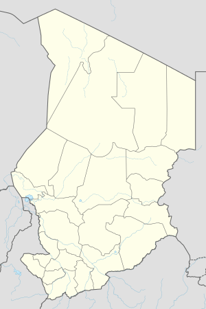 FTTN Location of Am Timan Airport in Chad | |||||||||||
| Runways | |||||||||||
| |||||||||||
Am Timan Airport (IATA: AMC, ICAO: FTTN) is an airport serving Am Timan in Chad.
Airlines and destinations
| Airlines | Destinations |
|---|
See also
References
- ↑ Airport record for Am Timan Airport at Landings.com. Retrieved 2013-08-28
- ↑ Google (2013-08-28). "location of Am Timan Airport" (Map). Google Maps. Google. Retrieved 2013-08-28.
External links
- Airport record for Am Timan Airport at Landings.com
This article is issued from Wikipedia - version of the 11/8/2016. The text is available under the Creative Commons Attribution/Share Alike but additional terms may apply for the media files.