Lemhi, Idaho
| Lemhi, Idaho | |
|---|---|
| Unincorporated community | |
 Lemhi, Idaho  Lemhi, Idaho | |
| Coordinates: 44°51′06″N 113°37′11″W / 44.85167°N 113.61972°WCoordinates: 44°51′06″N 113°37′11″W / 44.85167°N 113.61972°W | |
| Country | United States |
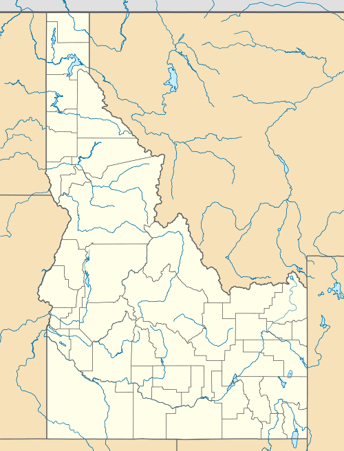
| State | Idaho |
| County | Lemhi |
| Elevation | 5,200 ft (1,600 m) |
| Time zone | Mountain (MST) (UTC-7) |
| • Summer (DST) | MDT (UTC-6) |
| ZIP code | 83465 |
| Area code(s) | 208 |
| GNIS feature ID | 396781[1] |
Lemhi is an unincorporated community on the Lemhi River in Lemhi County, Idaho, United States. Lemhi is located on Idaho State Highway 28, 8 miles (13 km) south of Tendoy and 18 miles (29 km) northwest of Leadore. Lemhi has a post office with ZIP code 83465.[2]
See also
References
- ↑ "US Board on Geographic Names". United States Geological Survey. 2007-10-25. Retrieved 2008-01-31.
- ↑ ZIP Code Lookup
Municipalities and communities of Lemhi County, Idaho, United States | ||
|---|---|---|
| Cities | ||
| Unincorporated communities | ||
This article is issued from Wikipedia - version of the 8/8/2016. The text is available under the Creative Commons Attribution/Share Alike but additional terms may apply for the media files.