Lac Brochet, Manitoba
| Lac Brochet | |
|---|---|
| First Nation | |
 Lac Brochet | |
| Coordinates: 58°37′12″N 101°29′02″W / 58.62000°N 101.48389°WCoordinates: 58°37′12″N 101°29′02″W / 58.62000°N 101.48389°W | |
| Country | Canada |
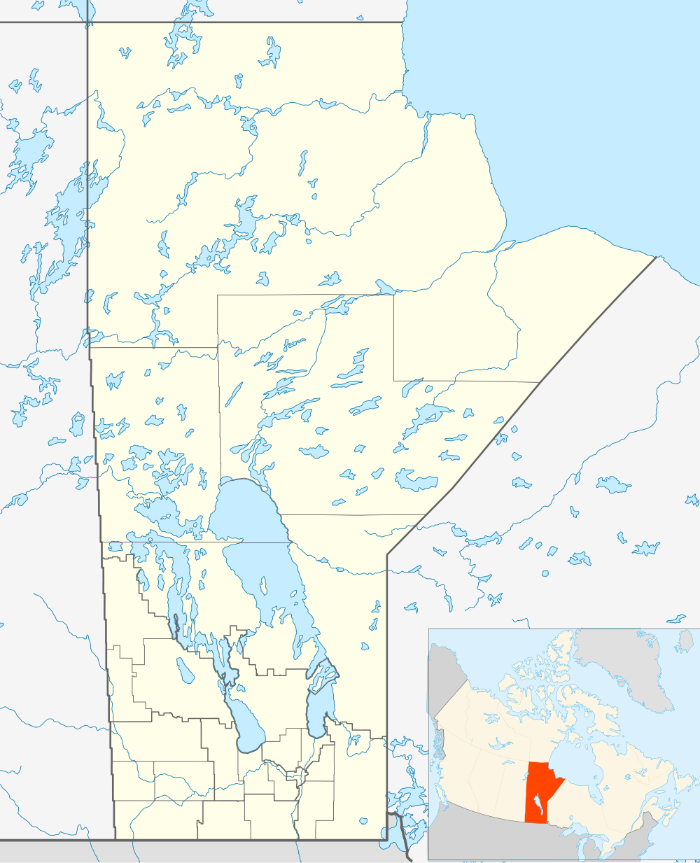
| Province | Manitoba |
| Region | Northern Region |
| Area | |
| • Land | 4.99 km2 (1.93 sq mi) |
| Population (2011) | |
| • Total | 816[1] |
| • Density | 163.7/km2 (424/sq mi) |
| Postal Code | R0B 2E0 |
Lac Brochet is a First Nation community in the boreal forest of northern Manitoba, Canada. The village is located on the north shore of Lac Brochet.
There are no permanent roads connecting Lac Brochet with other parts of Manitoba (there are some that are passable only during the winter). Many residents travel using the Lac Brochet Airport located near town.
Petit Casimir Memorial School[2] is the K-12 school in the community.
Northlands First Nation
The village is the administrative centre of the Northlands First Nation. The territories of the First Nation include five parcels of land.
- Lac Brochet 197A with 464.30 hectares[3] Lac Brochet 197A contains the village of Lac Brochet.
- Sheth Chok with 1213.60 hectares[3]
- Thuycholeeni with 47.50 hectares[3]
- Thuycholeeni Aze with 201 hectares[3]
- Tthekale Nu with 211 hectares[3]
As of February 2013 the total membership of Northland First Nation was 1,024 with 868 members living on-reserve and 156 members living off-reserve.[3] The First Nation is governed by a Chief and six councillors [3] and is affiliated with the Keewatin Tribal Council.[3] The Keewatin Tribal Council with its head office in Thompson represents eleven First Nations in Northern Manitoba.[4]
Demographics
720 residents chose Dene as their mother tongue in 2011 and 10 chose Cree as their mother tongue. English was spoken by most of the population.[1]
| Canada census – Lac Brochet, Manitoba community profile | |||
|---|---|---|---|
| 2011 | 2006 | ||
| Population: | 816 (+35.1% from 2006) | 604 (-4.0% from 2001) | |
| Land area: | 4.99 km2 (1.93 sq mi) | 4.99 km2 (1.93 sq mi) | |
| Population density: | 163.7/km2 (424/sq mi) | 121.2/km2 (314/sq mi) | |
| Median age: | 22.8 (M: 23.2, F: 21.9) | 21.8 (M: 23.5, F: 20.6) | |
| Total private dwellings: | 194 | 157 | |
| Median household income: | |||
| References: 2011[5] 2006[6] | |||
See also
References
- 1 2 "Canada Census 2011 Community Profile". Retrieved 2013-03-23.
- ↑ Petit Casimir Memorial School
- 1 2 3 4 5 6 7 8 "AANDC (Registered Population)". Retrieved 2013-03-23.
- ↑ "Keewatin Tribal Council Website". Retrieved 2013-03-23.
- ↑ "2011 Community Profiles". Canada 2011 Census. Statistics Canada. July 5, 2013. Retrieved 2013-03-23.
- ↑ "2006 Community Profiles". Canada 2006 Census. Statistics Canada. March 30, 2011. Retrieved 2013-03-23.
External links
 |
Baker Lake | | ||
| Stony Rapids | |
Tadoule Lake, Churchill | ||
| ||||
| | ||||
| Brochet |