Kjølsdalen
| Kjølsdalen | |
|---|---|
| Village | |
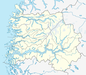 Kjølsdalen  Kjølsdalen Location in Sogn og Fjordane county | |
| Coordinates: 61°54′59″N 05°37′45″E / 61.91639°N 5.62917°ECoordinates: 61°54′59″N 05°37′45″E / 61.91639°N 5.62917°E | |
| Country | Norway |
| Region | Western Norway |
| County | Sogn og Fjordane |
| District | Nordfjord |
| Municipality | Vågsøy Municipality |
| Elevation[1] | 10 m (30 ft) |
| Time zone | CET (UTC+01:00) |
| • Summer (DST) | CEST (UTC+02:00) |
| Post Code | 6776 Kjølsdalen |
Kjølsdalen is a village in Eid in Sogn og Fjordane county, Norway. The village is located on the northern shore of the Nordfjorden, about 8 kilometres (5.0 mi) west of the village of Stårheim and about 12 kilometres (7.5 mi) east of the village of Bryggja (in Vågsøy Municipality). The village of Davik lies about 5 kilometres (3.1 mi) across the fjord from Kjølsdalen. The village is named after the Kjølsdalen valley in which it is located.
Historically, Kjølsdalen was administratively part of the old municipality of Davik until 1964 when it became part of Eid municipality. Kjølsdalen Church is located in the village, serving the western part of the municipality of Eid.
References
- ↑ "Kjølsdalen, Eid" (in Norwegian). yr.no. Retrieved 2013-09-25.
This article is issued from Wikipedia - version of the 8/1/2016. The text is available under the Creative Commons Attribution/Share Alike but additional terms may apply for the media files.