Kirkibost
| Gaelic name | Eilean Chirceboist |
|---|---|
| Location | |
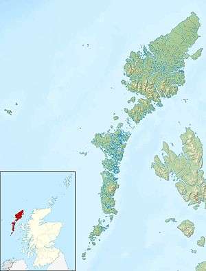 Kirkibost Kirkibost shown within the Outer Hebrides | |
| OS grid reference | NF758640 |
| Physical geography | |
| Island group | Uists and Barra |
| Area | 205 |
| Area rank | 105= [1] |
| Highest elevation | 7 m |
| Administration | |
| Sovereign state | United Kingdom |
| Country | Scotland |
| Council area | Outer Hebrides |
| Demographics | |
| Population | 0 |
| References | [2][3][4] |
Kirkibost is a low-lying island west of North Uist in the Outer Hebrides of Scotland.

Southern tip of Kirkibost Island
Geography
Kirkibost, along with neighbouring Baleshare, is covered by a machair system of coastal plains covered with shell sand, part covered by grass, with some sand dunes, fens and peat. Together with Baleshare, it forms part of a Site of Special Scientific Interest.[5] The small islands of Eilean Mòr, Bior-eilean and Sròmaigh lie between Kirkibost and North Uist.[4]
Wildlife
The island is important for corncrakes, various wading birds and overwintering wildfowl.[5]
Economy
Kirkibost has been cultivated in the past, but is now used only for seasonal cattle grazing.[5]
References
- ↑ Area and population ranks: there are c. 300 islands over 20 ha in extent and 93 permanently inhabited islands were listed in the 2011 census.
- ↑ NRS1C
- ↑ Haswell-Smith, Hamish. (2004) The Scottish Islands. Edinburgh. Canongate.
- 1 2 Ordnance Survey. Get-a-map (Map). 1:25,000. Leisure. Ordinance Survey. Retrieved 21 August 2013.
- 1 2 3 Scottish Natural Heritage (March 2002). "SSSI Management Statement: Baleshare & Kirkibost SSSI". Retrieved 2007-07-19.
Inhabited islands of the Hebrides | ||
|---|---|---|
| Inner Hebrides | 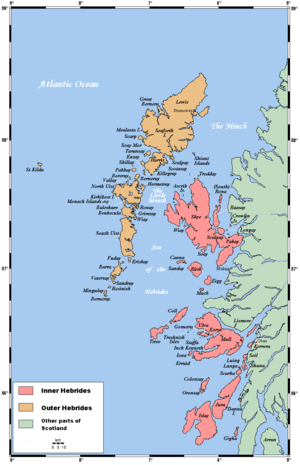 | |
| Outer Hebrides | ||
Coordinates: 57°33′30″N 7°25′15″W / 57.55833°N 7.42083°W
This article is issued from Wikipedia - version of the 10/13/2013. The text is available under the Creative Commons Attribution/Share Alike but additional terms may apply for the media files.