Jardas al ‘Abid
| Jardas al ‘Abid جردس العبيد | |
|---|---|
| Town | |
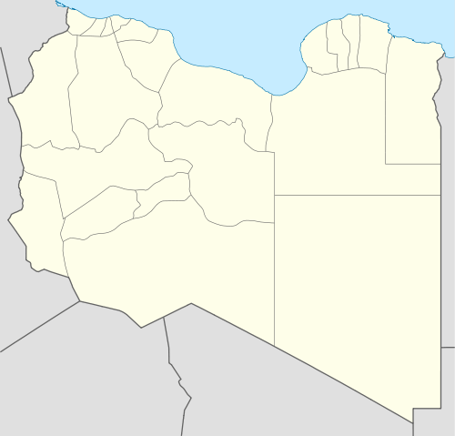 Jardas al ‘Abid Location in Libya | |
| Coordinates: 32°18′17″N 20°58′59″E / 32.30472°N 20.98306°ECoordinates: 32°18′17″N 20°58′59″E / 32.30472°N 20.98306°E | |
| Country |
|
| Region | Cyrenaica |
| District | Marj |
| Elevation | 1,080 ft (330 m) |
| Population (1995)[1] | |
| • Total | 6,051 |
| Time zone | EET (UTC+2) |
| Area code(s) | 06762 |
Jardas al ‘Abīd or Jerdes el Abid[2] (Arabic: جردس العبيد)is a small town in the Marj District, located in northeastern Libya about 29 km southeast of Marj.
It was named Jardas Al 'Abid after the tribe living on it, and to identify it from Jardas Jerrari near Slonta.
Probably ignorant of the fact above, Jardas Al 'Abid (Literally meaning:Jardas of the Slaves) was renamed Jardas Al Ahrar[3] (Literally meaning:Jardas of the Free) after Muammar Gaddafi took power in 1969.
References
- ↑ Amraja M. el Khajkhaj, "Noumou al Mudon as Sagheera fi Libia", Dar as Saqia, Benghazi-2008, p.112.
- ↑ http://wikimapia.org/3727576/ar/Jardes-Al-Abid-%D8%AC%D8%B1%D8%AF%D8%B3-%D8%A7%D9%84%D8%B9%D8%A8%D9%8A%D8%AF
- ↑ Libyan Planning Ministry, “Al Atlas al Watani lil Jamahiriya…”, Tripoli, 1978, p.31.
| Capital | ||
|---|---|---|
| Towns and villages | ||
This article is issued from Wikipedia - version of the 7/21/2016. The text is available under the Creative Commons Attribution/Share Alike but additional terms may apply for the media files.