Guamblin Island
| Native name: <span class="nickname" ">Isla Guamblin | |
|---|---|
 Guamblin Island | |
| Geography | |
| Coordinates | 44°51′S 75°05′W / 44.85°S 75.08°WCoordinates: 44°51′S 75°05′W / 44.85°S 75.08°W |
| Adjacent bodies of water | Pacific ocean |
| Length | 16 km (9.9 mi)N-S |
| Width | 8 km (5 mi)W-E |
| Administration | |
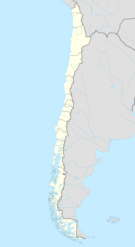
| Region | Aisén |
| Additional information | |
| NGA UFI=-883679 | |
Guamblin Island, also known as Socorro Island, Nuestra Señora del Socorro or Huamblin, is a Chilean island. It is part of the Chonos Archipelago, although it is some 25 km distant from the other islands of the archipelago, far out in the Pacific Ocean.
The island is a National Park, and an Important Bird Area. It is a breeding ground of the sooty shearwater.[1]
Oil spill
In June 1973, the Liberian oil tanker Napier ran aground at the island and sparked off an oil spill (30,000 t of oil were released). After the rescue of the crew, she was fired upon and set on fire by Chilean Hawker Hunters in order to burn the oil and avoid further pollution.[2]
See also
References
- ↑ BirdLife International: site fact sheet
- ↑ SIGWEB Sistemas integrados de Gestión, Carlos Saldivia, Las desconocidas historias de los tres derrames de petróleo en Chile, retrieved on 18 September 2013
External links
- Islands of Chile @ United Nations Environment Programme
- World island information @ WorldIslandInfo.com
- South America Island High Points above 1000 meters
- United States Hydrographic Office, South America Pilot (1916)
This article is issued from Wikipedia - version of the 12/1/2016. The text is available under the Creative Commons Attribution/Share Alike but additional terms may apply for the media files.