Hvolsvöllur
| Hvolsvöllur | |
|---|---|
| Town | |
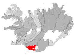 Location of the Municipality of Rangárþing eystra | |
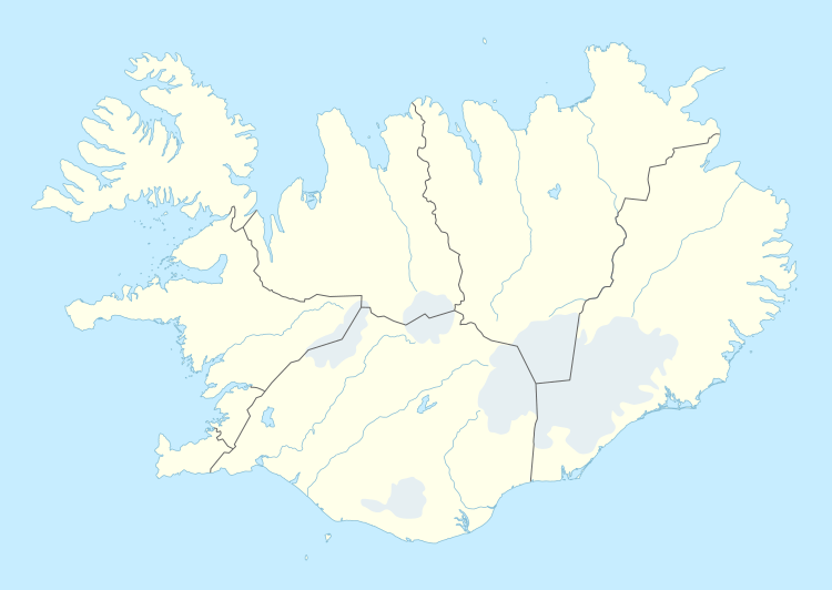 Hvolsvöllur Location in Iceland | |
| Coordinates: 63°45′N 20°14′W / 63.750°N 20.233°W | |
| Country |
|
| Constituency[1] | South Constituency |
| Region[2] | Southern Region |
| Municipality | Rangárþing eystra |
| Population (2015) | |
| • Total | 934 |
| Time zone | GMT (UTC+0) |
| Website |
www |

Hvolsvöllur is a small town in the south of Iceland about 106 km to the east of Reykjavík.
It is situated in the inland swamps of Landeyjar, in the municipality of Rangárþing eystra and has, as of January 2015, 934 inhabitants.
Overview
The name of the town literally translates to "Hillfield". "Hvoll" (hvols in genitive case) is an archaic form of the modern Icelandic word "hóll", meaning "hill", and "völlur" means "field". The name is derived from the name of the historic farm Stórólfshvoll (Stórólfur's hill).
The hringvegur (road no.1) traverses the town which has 900 inhabitants. In the surrounding areas there is an additional population of about 800 people, who are also part of the municipality.
Not far from Hvolsvöllur is an airfield which offers flights to Vestmannaeyjar (Westman Islands).
Þórsmörk, a beautiful valley below the glacier Mýrdalsjökull, is also not too far away.
The area is the scene of one of the most famous sagas of Iceland, Njál's saga. The town of Hvolsvöllur has a Saga Centre dedicated to this and other Icelandic sagas.
In 2010, the volcanic eruptions at Eyjafjallajökull caused evacuations in the surrounding area, with people being relocated to Hvolsvöllur, where Red Cross mass care centres had been set up.[3]
See also
References
- ↑ Political division
- ↑ Mainly statistical division
- ↑ "Hundreds evacuated after Icelandic volcano erupts, first since 1823". Thaindian News. 2010-03-21. Retrieved 2010-03-24.
External links
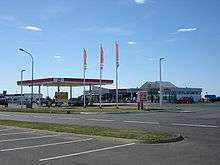
- Hvolsvöllur webcam (at the Esso station)
- The official Njal's Saga website—The Njála museum in Hvolsvöllur, Iceland

Coordinates: 63°45′N 20°14′W / 63.750°N 20.233°W