Hollins Lane
| Hollins Lane | |
.jpg) Church and Post Office, Hollins Lane |
|
 Hollins Lane |
|
| OS grid reference | SD496511 |
|---|---|
| Civil parish | Forton |
| District | Wyre |
| Shire county | Lancashire |
| Region | North West |
| Country | England |
| Sovereign state | United Kingdom |
| Post town | PRESTON |
| Postcode district | PR3 |
| Dialling code | 01524 |
| Police | Lancashire |
| Fire | Lancashire |
| Ambulance | North West |
| EU Parliament | North West England |
| UK Parliament | Lancaster and Fleetwood |
|
|
Coordinates: 53°57′11″N 2°45′58″W / 53.953°N 2.766°W
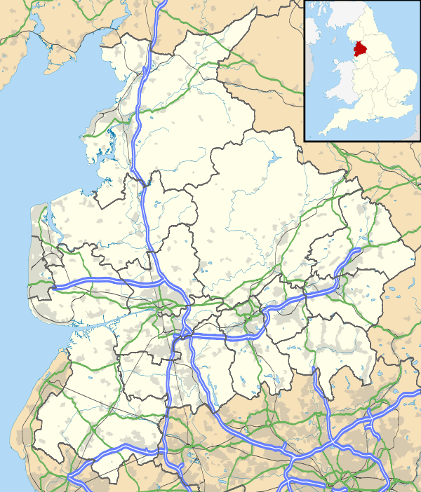
Hollins Lane is a village near the village of Forton, in the Wyre District, in the English county of Lancashire. The village has the Lancaster and Preston Junction Railway running through it but there is no station.
Amenities
Hollins Lane has a place of worship, a post office and a pub, the New Holly.
Nearby settlements
Nearby settlements include the town of Garstang, the village of Forton and the hamlet of Shireshead.
Location grid
 |
Bay Horse | | ||
| Forton | |
Shireshead | ||
| ||||
| | ||||
| Scorton |
Transport
For transport there is the M6 motorway and the A6 road nearby.
References
| Wikimedia Commons has media related to Hollins Lane. |
This article is issued from Wikipedia - version of the 1/14/2016. The text is available under the Creative Commons Attribution/Share Alike but additional terms may apply for the media files.