Bonds, Lancashire
| Bonds | |
 Roman Catholic church of SS Mary and Michael |
|
 Bonds |
|
| OS grid reference | SD493448 |
|---|---|
| Civil parish | Barnacre-with-Bonds |
| District | Wyre |
| Shire county | Lancashire |
| Region | North West |
| Country | England |
| Sovereign state | United Kingdom |
| Post town | Preston |
| Postcode district | PR3 |
| Dialling code | 01995 |
| Police | Lancashire |
| Fire | Lancashire |
| Ambulance | North West |
| EU Parliament | North West England |
| UK Parliament | Wyre and Preston North |
| Website | Barnacre-with-Bonds Parish Council |
|
|
Coordinates: 53°53′49″N 2°46′16″W / 53.897°N 2.771°W
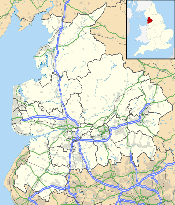
Bonds is a village in Lancashire, England. It lies immediately south of Garstang town centre, on the opposite bank of the River Wyre. It is bounded by the Lancaster Canal to the south and west. It would appear, from its location, to be a suburb of Garstang, but it is in the separate civil parish of Barnacre-with-Bonds. Garstang, Bonds, Bowgreave and Catterall form an almost continuous built-up area, bypassed by the A6 road in 1928[1] (incorrectly given as 1926 in[2]).
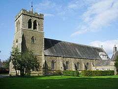
The Roman Catholic church of St Mary and St Michael is a Gothic Revival building consecrated in 1858, superseding a chapel built in 1784.[3][4]
1⁄2 mile (800 m) east of the village is the ruin of Greenhalgh Castle, built in 1490 for Thomas Stanley.[5]
See also
Notes
- ↑ The Times, 28 Oct 1928, page 18
- ↑ Greenall 2007, p. 52.
- ↑ Greenall 2007, p. 7.
- ↑ Hewitson 2003, p. 53.
- ↑ Hewitson 2003, p. 53–54.
References
- Greenall, R (2007). Garstang Past. Altrincham: At Heart Ltd. ISBN 978-1-84547-137-8.
- Hewitson, A (2003) [1900]. Northward. Blackpool: Landy Publishing. ISBN 1-872895-60-3.
External links
| Wikimedia Commons has media related to Bonds, Lancashire. |